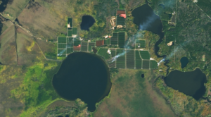
Satellites Track Status of Nation’s Food Supply
Farmers across the Midwest are in a race to finish harvesting their corn, soybean, and other staples of the Thanksgiving dinner table before the first crop killing freeze sets in.

Tribute to a Glacier That Is No More
A memorial was placed on top of the volcano where Okjökull Glacier’s ice once flowed.
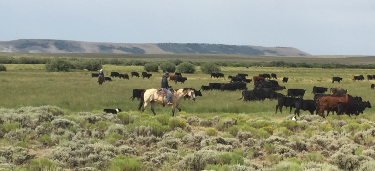
New Technologies for Range and Pasture Management
The Landsat-based Rangeland Analysis Platform and Green-Cast are valuable tools for ranchers adaptively managing their land.
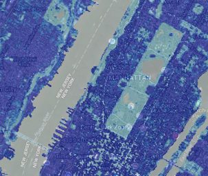
High-Resolution Data Products Help Illuminate Urbanization’s Reach
Two new Landsat-based data products and a mapping tool provide data on man-made impervious surfaces and urban extents throughout the world.

How You Can Help Make a Better World Land Map
Using the technology inside your phone, you can help scientists classify land cover and track changes.
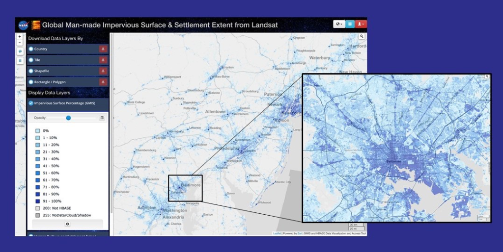
NASA Webinar on Mapping Global Urbanization with Landsat and High-Resolution Reference Data Held Nov. 14
Webinar described the production of the Global Man-made Impervious Surface dataset and its companion urban extent dataset called Human Built-up And Settlement Extent.

