
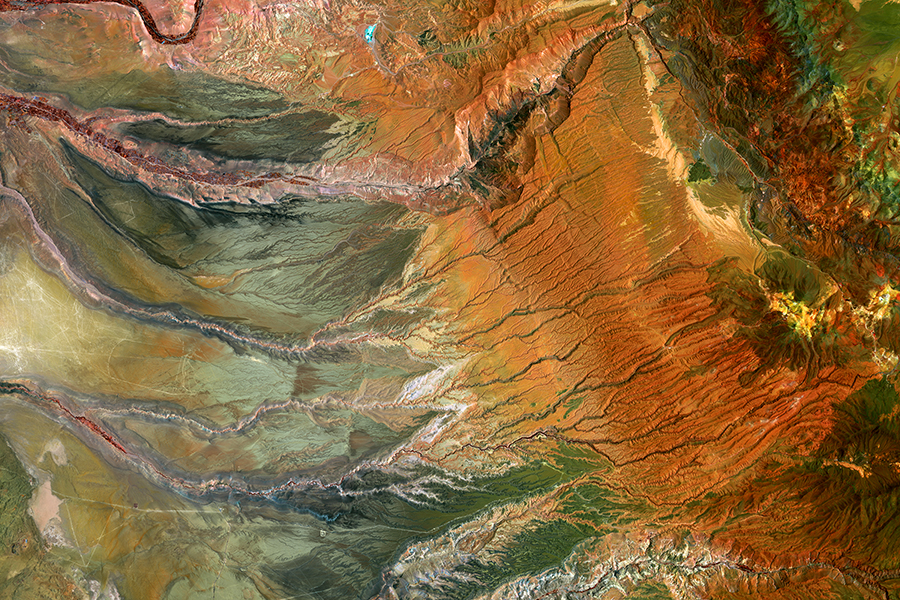
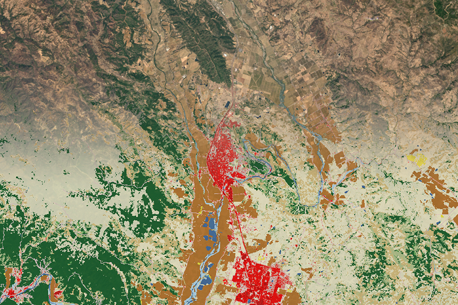
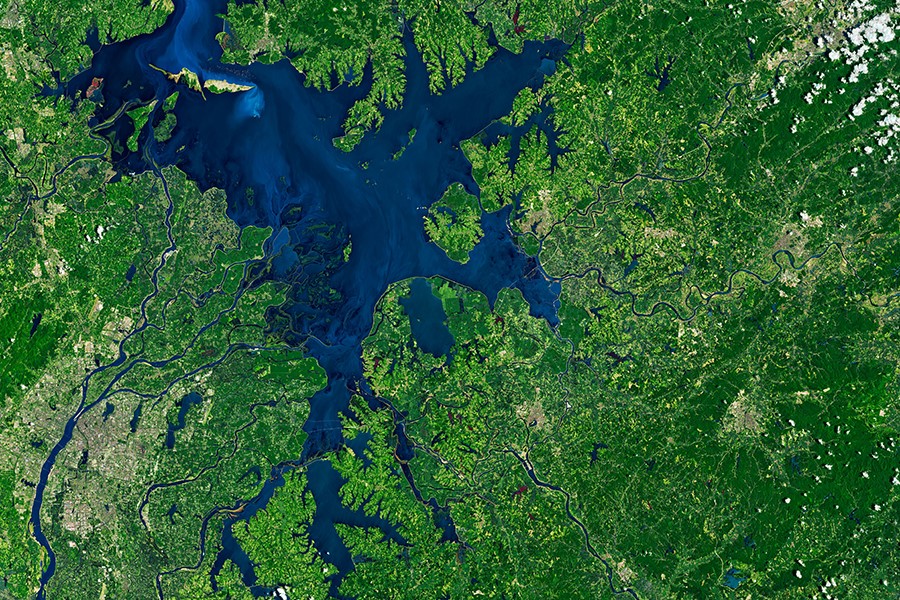
The Landsat program consists of a series of Earth-observing satellite missions jointly managed by NASA and the U.S. Geological Survey (USGS). Since 1972, Landsat satellites have continuously acquired images of the Earth’s land surface and provided an uninterrupted data archive to assist land managers, planners, and policymakers in making more informed decisions about natural resources and the environment.
The USGS Earth Resources Observation and Science (EROS) Center was established before the launch of Landsat 1 (formerly ERTS-1) to become the central repository for Landsat imagery. With over five decades in operation, the EROS Center remains the primary steward of Landsat data and continues to process, distribute, and archive data from the mission. Since 2008, when the USGS signed a free and open data policy, Landsat data have become widely accessible and spurred the development of new data products, tools, and applications. To learn more about Landsat data, explore the topics below.
Landsat data, Harmonized Landsat Sentinel-2 (HLS) data, and Landsat-derived data and science products are publicly accessible and free of charge. These datasets can be viewed and downloaded from a variety of map viewers, data portals, and advanced cloud-computer platforms.
Educational resources focused on the use of Landsat data are available for learners of all ages and experience levels. Training courses, tutorials, and webinars can provide insights on how to use Landsat data, improve knowledge and proficiency, and advance remote sensing skills.
Landsat handbooks, guides, and technical documents provide a basic understanding of Landsat missions, the spacecraft and sensors, data processing systems, and the resulting data and science products that are available for download.
Open science is the growing movement to make scientific research, publications, data, and software accessible to everyone. Although 2023 was declared the Year of Open Science, the opening of the Landsat data archive in 2008 represented a foundational shift in how Earth observation data were accessed and shared.
