Oyster Prospecting with Landsat 8
In the first study of its kind, researchers from the University of Maine have demonstrated that Landsat 8 satellite data can be used to find locations where oysters farms should thrive.

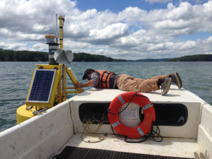
In the first study of its kind, researchers from the University of Maine have demonstrated that Landsat 8 satellite data can be used to find locations where oysters farms should thrive.
