High-Resolution Data Products Help Illuminate Urbanization’s Reach
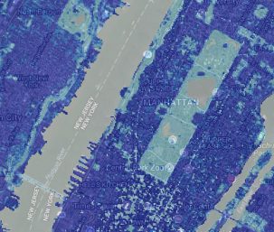
Two new Landsat-based data products and a mapping tool provide data on man-made impervious surfaces and urban extents throughout the world.

Two new Landsat-based data products and a mapping tool provide data on man-made impervious surfaces and urban extents throughout the world.
Evolving technology, free data and robust calibration have helped make Landsat the cornerstone of global land imaging.
