Landsat Plumbs the (Shallow) Depths
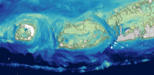
Scientists at the U.S. Geological Survey have developed a new way to measure ocean depth, or bathymetry, in shallow nearshore environments using Landsat data.

Scientists at the U.S. Geological Survey have developed a new way to measure ocean depth, or bathymetry, in shallow nearshore environments using Landsat data.