

Mapping Forest Damage from Hurricane Milton on Florida’s West Coast
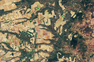
Rising sea levels and increased ocean temperatures are supercharging hurricanes. Using satellite data can help monitor vulnerable ecosystems.
Rising sea levels and increased ocean temperatures are supercharging hurricanes. Using satellite data can help monitor vulnerable ecosystems.
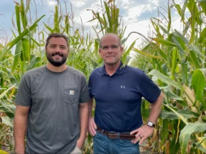
The most common question at the NASA booth at Commodity Classic was, “What does NASA do for agriculture?” The answer was perhaps best summed up by Karen St. Germain, Director of NASA’s Earth Science Division, in a Hyperwall talk delivered at the convention. St. Germain laid out how NASA data could strengthen food security, improve agricultural resilience, and help farmers do what they do best: farm.
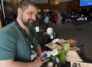
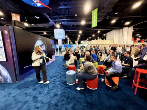
On March 6-9, over 22,000 explored the Austin Public Library for the South by Southwest Festival (SXSW). At the NASA booth, they explored the power of Landsat.

Why do we calibrate Landsat data? We spoke with Brian Markham, a key figure of Landsat calibration science for four decades. He said that it all comes down to this: “If we’re using a system to quantify changes on the Earth, we must make sure the system we’re using is not changing.”
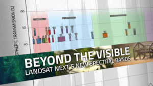
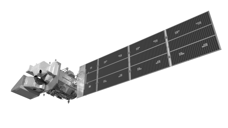
With Landsat Next’s 26 new spectral bands, we’ll be able to see our planet like never before. Landsat Next’s enhanced capabilities will provide scientists, farmers, and decision-makers with critical data to tackle global challenges.
A NASA and U.S. Geological Survey (USGS)-supported research and development team, OpenET, is making it easier for farmers and ranchers to manage their water resources with the FARMS tool.
New research led by Landsat 8/9 Project Scientist Chris Neigh used Landsat and ICESat-2 data to investigate how boreal forests growth could sequester carbon.
Using NASA data, researchers can track vegetation changes around the planet, not just in forests but also in grasslands and savannas like the Brazilian Cerrado.
