Landsat's Role in Agriculture and Food Security
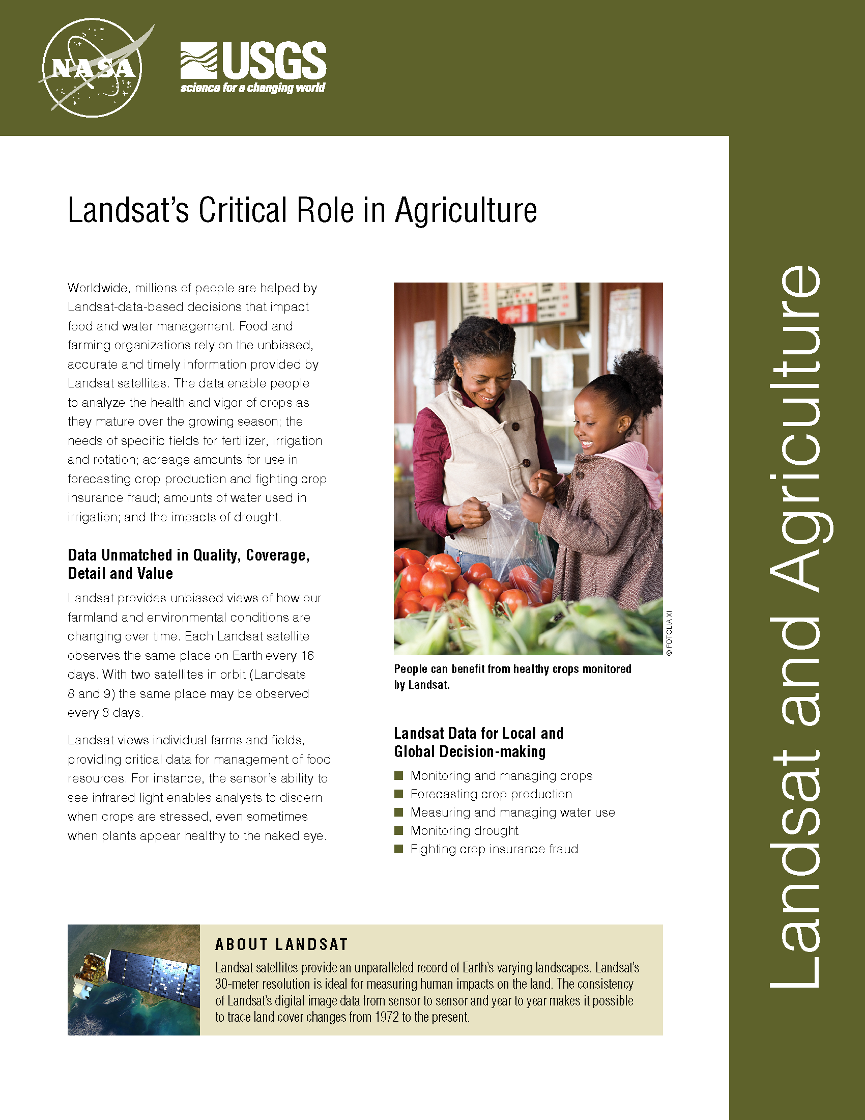
Worldwide, millions of people are helped by Landsat-data-based decisions that impact food and water management. Food and farming organizations rely on the unbiased, accurate and timely information provided by Landsat satellites. The data enable people to analyze the health and vigor of crops as they mature over the growing season; the needs of specific fields for fertilizer, irrigation and rotation; planted acreage to forecast crop production and fight crop insurance fraud; how much water is used in irrigation; and the impacts of drought.
Mapping Water Use from Space
[Source: Library of Congress] Dr. Martha Anderson, research scientist, USDA, talks about using images from the Landsat satellite program to monitor water use and drought on U.S. farms with pinpoint
A New Way To Map Drought and Water Use Worldwide
Every month, the National Oceanic and Atmospheric Administration’s (NOAA) Center for Climate Prediction has a drought briefing by teleconference to identify the latest drought areas in North America. ARS scientists
It Takes a Satellite To Feed the World
Source: Charles L. Walthall, USDA Agricultural Research Service Forum It’s ironic that just when Earth-monitoring satellites are needed more than ever to address the food and freshwater demands of a burgeoning
EarthSky Interview with Martha Anderson: Using Landsat to Monitor Water Use from Space
Martha Anderson, a research scientist at the U.S. Department of Agriculture, uses images from the Landsat satellite program to monitor water use and drought on U.S. farms with pinpoint accuracy,
Landsat Data Addresses Needs of California Growers
With the capability to provide valuable information about individual farm fields, vineyards, and orchards, NASA satellites soon will provide California growers in the San Joaquin Valley with important information about

Water Watchers
Landsat doesn’t measure water vapor directly, but evaporating and transpiring water takes energy, something Landsat does observe. If they knew how much energy was going into driving evapotranspiration, Morse and Allen could estimate how much water a particular field of crops had consumed on any particular day.

