
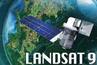
February 22, 2021 • For nearly half a century, Landsat has shaped our understanding of Earth. Since the launch of the first Landsat satellite in 1972, the mission has gathered and archived more than 8 million images of our home planet’s terrain – from crop fields to sprawling cities, from forests to shrinking glaciers.
These data-rich images are free and publicly available, leading to scientific discoveries and helping to inform resource management. Landsat 9 will continue this valuable partnership between NASA and the U.S. Geological Survey.
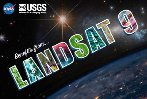
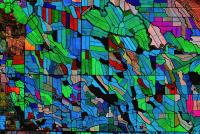
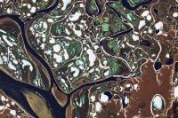
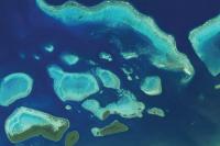
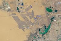
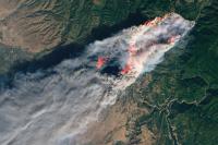
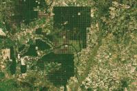
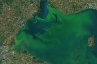
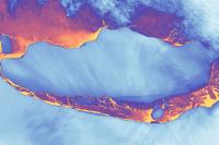
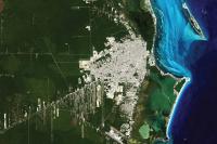
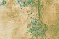
A series of 13 postcards—each with a stunning Landsat image—has recently been released. The postcards share how Landsat helps us better understand our planet in eight different realms (Glaciers & Ice, Land, Volcanoes, Urban Growth, Food, Forest, Fire, Desert), and how that benefits us humans.
Our new “Benefits from Landsat” postcards can be downloaded here. Enjoy!
 |  |  |
 |  |  |
 |  |  |
 |  |  |
