Landsat's Role in Understanding Climate Change
Long-term weather patterns averaged over 30 years or more make up our climate. Human well-being—our infrastructure and agriculture—depend on a reliable climate. This reliability allows farmers to plant seeds in the spring with confidence that temperatures and rainfall will sustain crops in the coming months. It allows communities to build and maintain roads, buildings, and drainage systems best suited to local conditions. Earth’s climate is controlled by the amount of energy that flows through the atmosphere, oceans, and land. By adding heat-trapping gases to the atmosphere—primarily carbon dioxide—people are increasing the amount of energy in the Earth system that would otherwise escape to space. This increase in energy is changing Earth’s climate, and consequently, the weather patterns that people rely on are shifting. Changes in long-term weather patterns have wide-ranging impacts on ecosystems and peoples’ lives. Designed to observe land and coastal ecosystems, Landsat instruments provide an unparalleled space-based record of the impact of climate change on Earth’s landscapes, the growth and loss of carbon- storing.
![Icebergs near shore](https://landsat.gsfc.nasa.gov/wp-content/uploads/2020/11/icebergs-2000x1500.jpg)
Talking Climate Change with Conservation and Earth Scientists
Landsat 9 Project Scientist Jeff Masek joined astronaut Jessica Meir and other researchers to discuss the role of space and aviation technologies in studying our changing world as part of the Smithsonian Conservation Commons’ Earth Optimism initiative.
![Greenland appears in this image created using data from the ITS_LIVE project](https://landsat.gsfc.nasa.gov/wp-content/uploads/2020/10/1c-greenland-wide-view-1041.jpg)
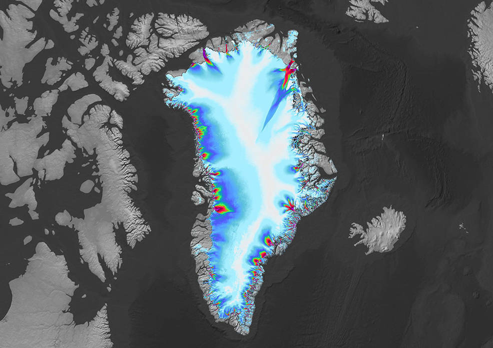
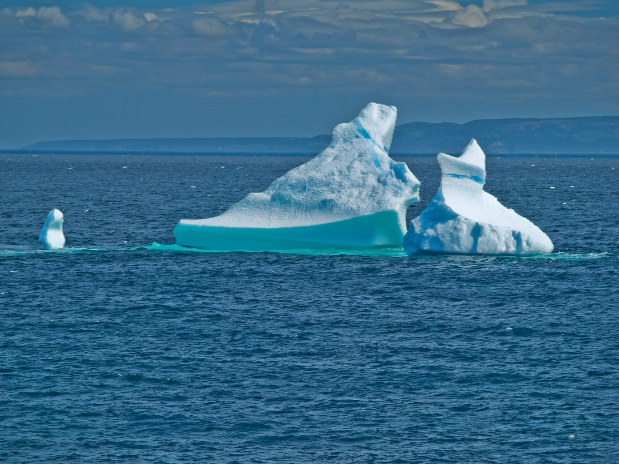
Greenland’s Retreating Glaciers Could Impact Local Ecology
Many of the Greenland’s glaciers are retreating while also undergoing other physical changes.
![When Arctic tundra greens, undergoing increased plant growth, it can impact wildlife species including reindeer and caribou.](https://landsat.gsfc.nasa.gov/wp-content/uploads/2020/09/fennoscandia2.jpg)
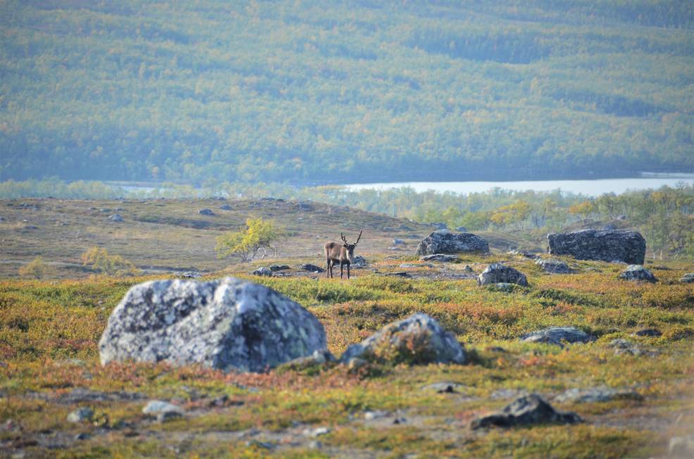
Warming Temperatures are Driving Arctic Greening
Using satellite images to track global tundra ecosystems over decades, a new study found the region has become greener, as warmer air and soil temperatures lead to increased plant growth.
![Lake Imja near Mount Everest](https://landsat.gsfc.nasa.gov/wp-content/uploads/2020/08/imjalake.jpg)
Global Survey Using Landsat Shows Dramatic Growth of Glacial Lakes
Using 30 years of Landsat data, researchers have found that the volume of glacial lakes worldwide has increased by about 50% since 1990.
![the Río Cauto Delta](https://landsat.gsfc.nasa.gov/wp-content/uploads/2020/08/riocautodelta_oli_202014_lrg_2-2048x1096_0.jpg)
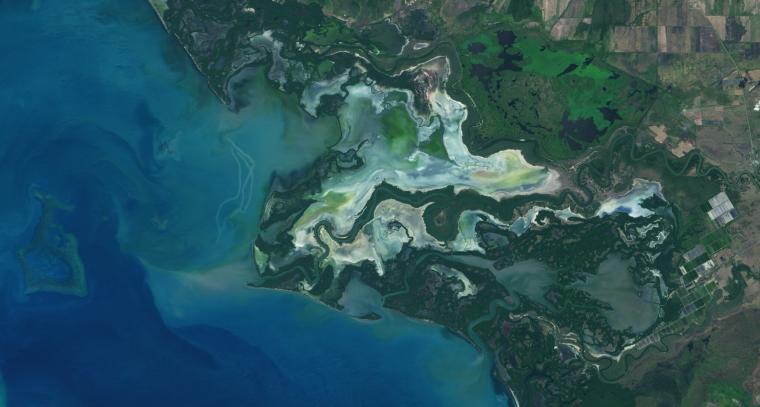
NASA Study Maps the Roots of Global Mangrove Loss
Using Landsat, researchers have created the first map of the causes of change in global mangrove habitats between 2000 and 2016—a valuable tool to aid conservation efforts for these vital coastline defenders.
![Liza Goldberg](https://landsat.gsfc.nasa.gov/wp-content/uploads/2020/07/LizaGoldberg.png)
Student Liza Goldberg Uses National Geographic Young Explorers Grant to Bring Satellite Imagery into Classrooms
Goldberg will launch Cloud to Classroom, an innovative project that uses satellite imagery to help K-12 classrooms understand global environmental change through remote sensing.