

Forest Disturbances and their Causes in California
Courtney Reents, a graduate student at University of Illinois at Urbana-Champaign, presented a poster on forest disturbance in California at #AGU15.
Climate Change, Conservation, and the Chemical Evolution of Prairie Potholes
Martin Goldhaber gave a talk about how climate change will impact the hydrochemistry of wetlands in an immensely important ecosystem known as the Prairie Pothole Region at #AGU15. Landsat data helped Goldhaber track how the size of the waterbodies in his study area changed between 1973 and 2011. Here’s what he shared with us about his research.
Land Change Trends, Midwest–South Central U.S., 1973 to 2000
A new Landsat-based report on land use trends in the Midwest and South Central U.S. between 1973 and 2000 was released by USGS this month.
Recounting Recent Fire History of Everglades National Park and Big Cypress National Preserve
When you think of Southern Florida’s vast everglades, fire is not something that usually comes to mind, but the region has a long history of seasonal fires.
Landsat Images Advance Watershed Restoration in Western Tanzania
For those who live along its shores, Lake Tanganyika in east Africa is the backbone of local transportation and serves as an essential source of household water and protein. Every night, fishers lure nocturnal, sardine-like fish called dagaa with compression lamps that are strung between their boats. From the shore, the lake sparkles with the lights of miniature moons as people gather the treasured catch.
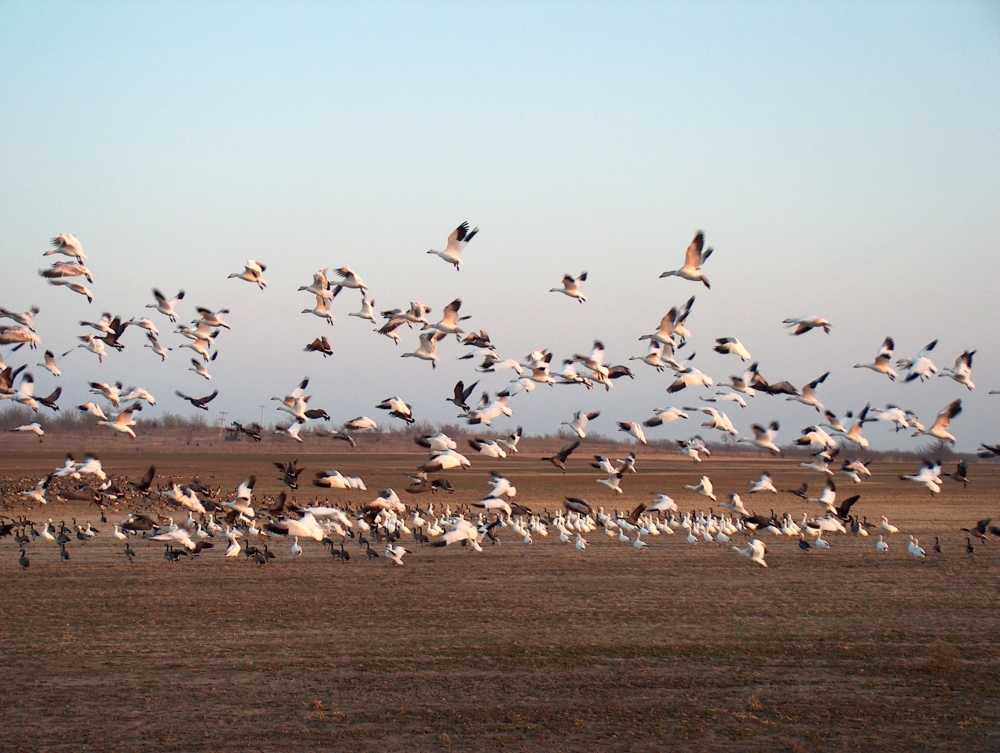
Landsat Helps Feed the Birds
The BirdReturns program, created by The Nature Conservancy of California, is an effort to provide “pop-up habitats” for some of the millions of shorebirds, such as sandpipers and plovers, that migrate each year from their summer breeding grounds in Alaska and Canada to their winter habitats in California, Mexico, Central and South America.
