

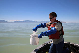
Early Detection of Algae ‘Blooms’ by Satellite Yields Healthcare Savings
The use of satellite data by environmental managers tracking harmful algal bloom outbreaks along lakefronts and coasts can result in earlier detections that yield significant savings on healthcare, lost work hours and other economic costs.
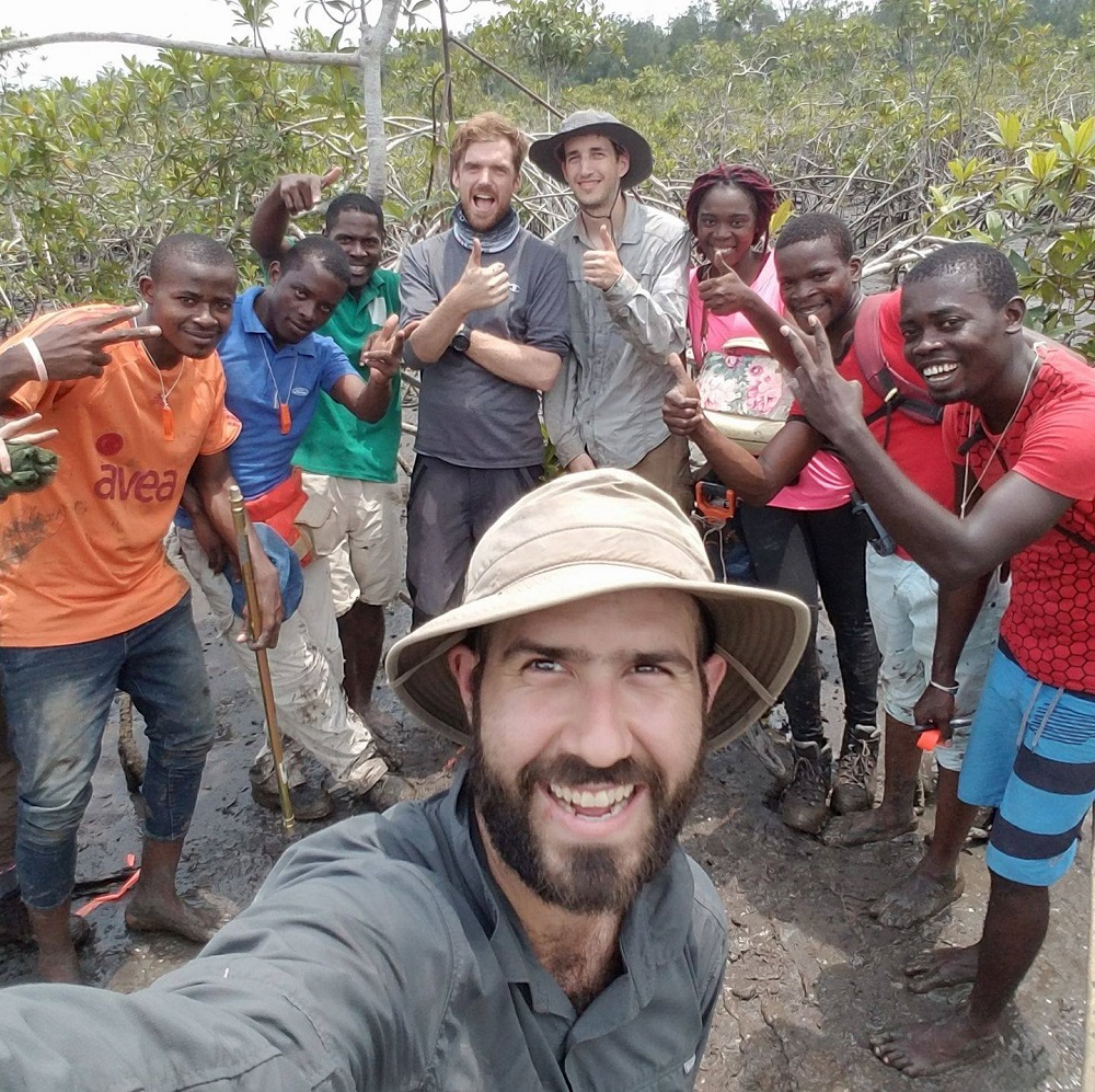
Meet Dr. David Lagomasino
Coastal ecosystems are some of Earth’s most biologically diverse environments, especially coastal mangrove forests. Dr. Lagomasino uses Earth observing data to study these vital biomes.
Plants from Space with Martha Anderson
USDA researcher Martha Anderson uses satellites and instruments like Landsat and ECOSTRESS to see how stressed plants are from space.
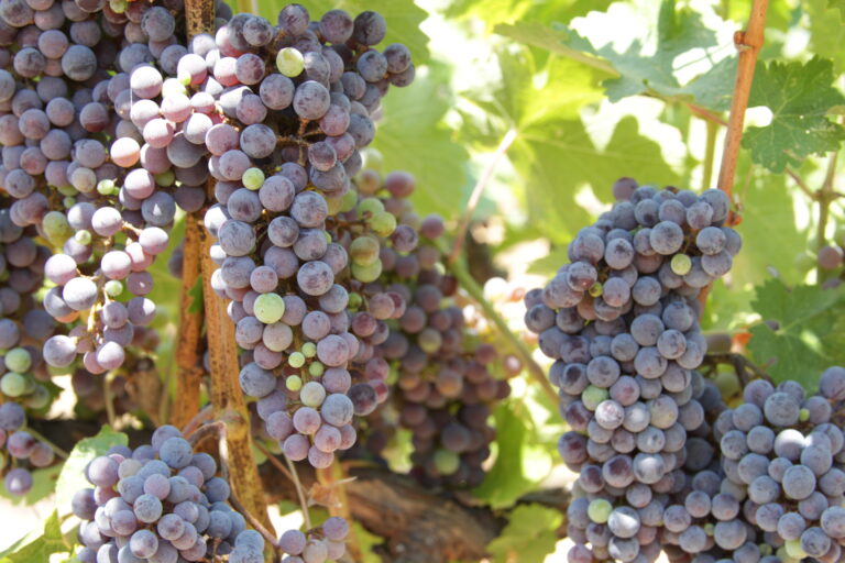
Raising a Glass in Wine Country to Better Water Management
Grape growers like Gallo are using data from Earth-observing satellites to better track soil and vine moisture levels, understand vine water use and plan grapevine irrigation.

New Satellite-Based Algorithm Pinpoints Crop Water Use
A new satellite-driven biophysical model can make accurate forecasts of crop water use that are critical for farmland water management and sustainability.

Landsat Boosts Understanding of Climate Change’s Impact on Kelp
Landsat imagery shows that bull kelp canopy area can vary dramatically from year to year, and that long-term population trends vary from reef to reef.
