

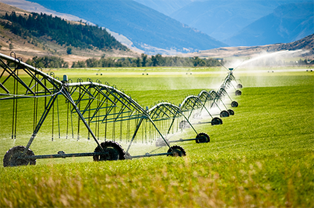
Landsat Imagery Sheds Light on Agricultural Water Use
Researchers armed with data from the Landsat Earth-observing satellites recently teamed up with Google to track water used for irrigation.
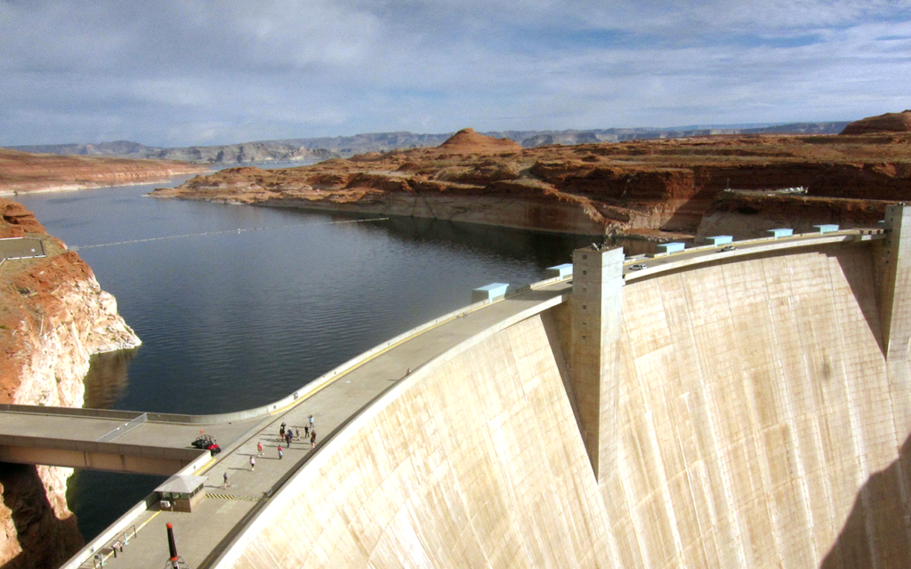
Land Under Water: Estimating Hydropower’s Land Use Impacts
A team of Norwegian-based researchers has developed an innovative way to describe how much land it takes to generate a kilowatt-hour of electricity from hydropower.
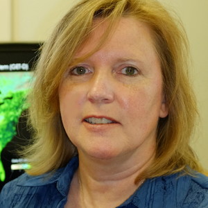
USGS Video: Landsat in Action—Monitoring Crop Land with Martha Anderson
Martha Anderson talks about the value of Landsat and its thermal data for understanding agricultural lands.
USGS Video: Landsat in Action—Minnesota Lakes with Leif Olmanson
Leif Olmanson talks about the value of Landsat data for monitoring the thousands of lakes in Minnesota.
UNESCO Launches a Pioneering Tool to Monitor Water Quality
Using data from Landsat and Sentinel-2, UNESCO is providing freshwater quality information at the global scale.
USGS Video: Landsat in Action—Tracking Water Changes with John Schott
John Schott discusses using Landsat Data over the years and how its thermal data tracks temperature changes in water bodies.
