

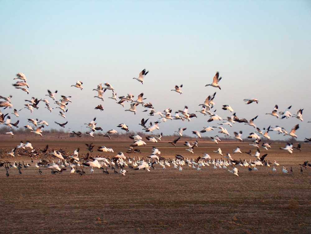
Landsat Helps Feed the Birds
The BirdReturns program, created by The Nature Conservancy of California, is an effort to provide “pop-up habitats” for some of the millions of shorebirds, such as sandpipers and plovers, that migrate each year from their summer breeding grounds in Alaska and Canada to their winter habitats in California, Mexico, Central and South America.
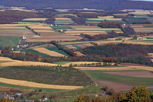
How Landsat Helps: New Agricultural Case Studies from USGS
The Social and Economic Analysis team at the Fort Collins Science Center recently added five new agriculture focused case studies to their “Landsat Imagery: A Unique Resource” website.

Avoiding Rock Bottom: How Landsat Aids Nautical Charting
On the most recent nautical chart of the Beaufort Sea where the long narrow Tapkaluk Islands of Alaska’s North Slope separate the sea from the shallow Elson Lagoon (Nautical Chart 16081) a massive shoal is immediately noticeable just west of the entrance to the lagoon. On the chart it looks like a massive blue thumb jutting out into the sea. The National Oceanographic and Atmospheric Administration (NOAA) identified this prodigious, 6-nautical mile-long, 2-nm-wide shoal using Landsat satellite data.
A Satellite View of River Width
Hydrologists from the University of North Carolina have come up with an innovative way to estimate the size of rivers via satellite images. Combing through data acquired by Landsat satellites, George Allen and Tamlin Pavelsky have compiled a new database of river widths for North America.
![The sensors aboard Landsat 8 were designed to have higher sensitivity to brightness and color; they use 4,096 values to digitize their signals (12-bit data) whereas the last-generation sensor on Landsat 7 was slightly less sensitive and used only 256 data values (8-bits) to describe the range of brightness it recorded. Visually, this translates into a smoother, less noisy looking images as can been seen here when comparing these natural color Landsat 7 [left] and Landsat 8 [right] images of the extensive coral reefs on the northern shore of Vanua Levu, Fiji’s second largest island, acquired on September 19, 2002 and May 10, 2015, respectively.](https://landsat.gsfc.nasa.gov/wp-content/uploads/2015/06/Levu_Fiji_L8_sm-1.jpg)
Satellites Enable Coral Reef Science Leap from Darwin to Online
With Earth-observing satellite data, scientists can now monitor the health of coral reefs, even in the most remote regions scattered around the globe where it is otherwise difficult to see changes.
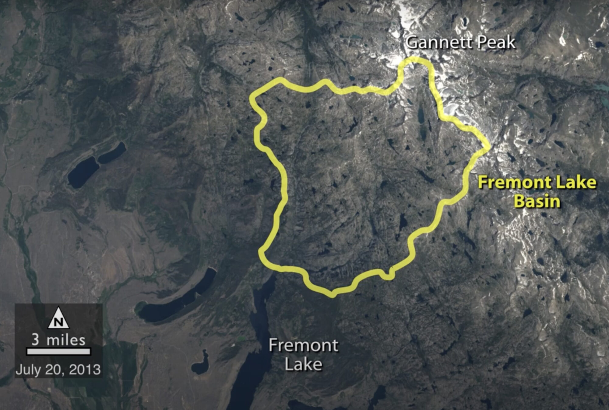
Historical Satellite Images Reveal Snow is Melting Earlier in Wyoming
A NASA study of a basin in northwestern Wyoming revealed that the snowmelt season in the area is now ending on average about sixteen days earlier than it did from the 1970s through the 1990s.
