

A New Way To Map Drought and Water Use Worldwide
Every month, the National Oceanic and Atmospheric Administration’s (NOAA) Center for Climate Prediction has a drought briefing by teleconference to identify the latest drought areas in North America. ARS scientists
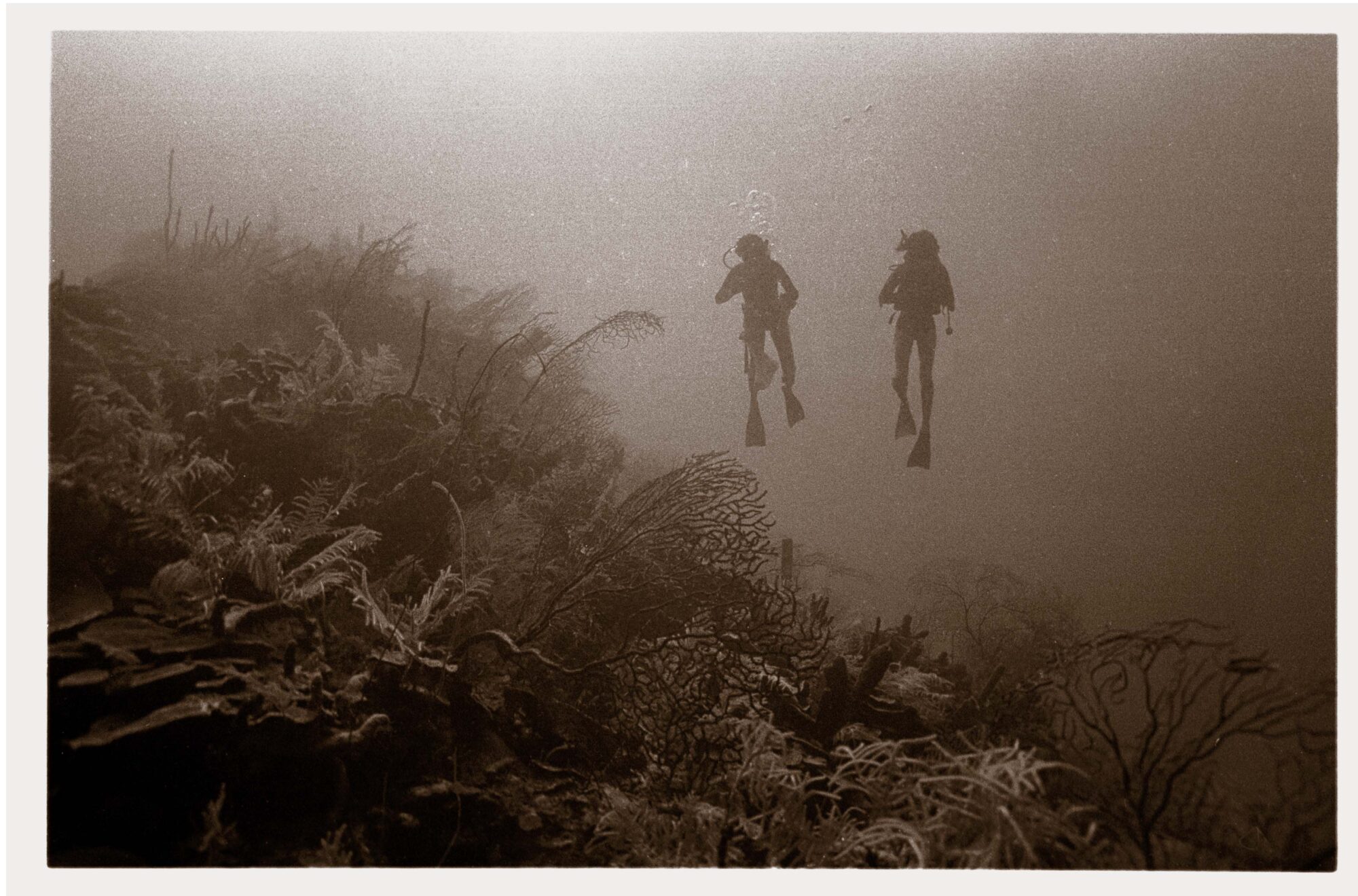
Detecting Detrimental Change in Coral Reefs
Over dinner on R.V. Calypso while anchored on the lee side of Glover’s Reef in Belize, Jacques Cousteau told Phil Dustan that he suspected humans were having a negative impact on coral reefs.
EarthSky Interview with Martha Anderson: Using Landsat to Monitor Water Use from Space
Martha Anderson, a research scientist at the U.S. Department of Agriculture, uses images from the Landsat satellite program to monitor water use and drought on U.S. farms with pinpoint accuracy,
Scientists Track Environmental Influences on Giant Kelp with Help from Landsat Data
Scientists at UC Santa Barbara have developed new methods for studying how environmental factors and climate affect giant kelp forest ecosystems at unprecedented spatial and temporal scales. The scientists merged
Landsat Data Addresses Needs of California Growers
With the capability to provide valuable information about individual farm fields, vineyards, and orchards, NASA satellites soon will provide California growers in the San Joaquin Valley with important information about
Landsat Images Offer Clearer Picture of Changes in Chesapeake Watershed
• Images taken from satellites more than 400 miles above the Earth’s surface are bringing land-cover changes throughout the Chesapeake Bay watershed into tighter focus. The images, which capture tracts
