
Closely calibrated and validated data are a hallmark of the Landsat Program. For medium-resolution satellite data, Landsat is considered the “gold standard” because of the program’s tradition of rigorous, independently verified calibration that is diligently reported and documented in peer-reviewed literature. This level of calibration takes considerable effort and time. The calibration process starts before a satellite is even assembled. Calibration and Validation (Cal/Val) teams from NASA and the U.S. Geological Survey (USGS) collaborate on Landsat calibration throughout the entire life of a satellite mission. The results of this work are reported quarterly on the USGS EROS Cal/Val Center of Excellence (ECCOE) website.
Landsat’s equation for calibration success can be summed up as:
{Rigorous calibration and characterization}
+
{Independent verification}
+
{Well-documented results & peer-reviewed publications}
=
Calibration Gold Standard
What is calibration?
Calibration refers to the process of determining and applying corrections to sensor parameters to ensure that the output data accurately represent physical units. This process is essential for maintaining data accuracy and consistency over time.
Two types of sensor parameters are evaluated during calibration: radiometric parameters, which relate to the sensor’s ability to measure electromagnetic radiation accurately, and geometric parameters, which relate to the precise location of each pixel in an image.
Landsat sensors’ outputs and the downstream processed data are routinely evaluated by a dedicated calibration team. When systematic shifts in sensor outputs are observed, the calibration team corrects for those shifts by updating the Calibration Parameter File (CPF). CPF adjustments are made for radiometric and geometric parameters as needed.
What is characterization?
Characterization refers to the process of thoroughly assessing a sensor’s performance by collecting detailed information about its behavior and properties. While not all characterization activities result in calibration adjustments, they are essential for understanding instrument performance. For example, prior to launch, a satellite instrument’s spectral response is characterized. Likewise, the size and shape of a detector’s footprint on the ground make up the spatial characterization. Both pre- and post-launch, the calibration team evaluates sensor noise characteristics, such as the signal-to-noise ratio (SNR) and noise-equivalent delta temperature (NE∆T), to quantify the instrument’s sensitivity and stability. These characterizations help describe the geodetic accuracy and radiometric uniformity.
By conducting rigorous characterization, NASA and USGS gain a comprehensive understanding of Landsat sensor performance, ensuring that the resulting data products are accurate, reliable, and scientifically meaningful for users.
What is validation?
In the context of the Landsat program, validation refers to the independent evaluation of higher-level Landsat data products, such as surface reflectance or land cover classifications. These validation activities are typically conducted by partners at USGS, members of the Landsat Science Team, and the broader scientific community. Validation ensures that Landsat-derived data products meet required accuracy standards for scientific research, environmental monitoring, and decision-making applications.
What is verification?
Verification refers to the process by which Landsat’s calibration is independently and routinely assessed using external reference sources. This independent check ensures that the physical measurements made by Landsat sensors remain accurate over time. Verification is an essential step in confirming that the calibration process itself is functioning as intended and that sensor outputs continue to reflect real-world conditions reliably.
Why is calibration important?
Any user who relies on satellite data for meaningful analysis depends on calibration to ensure accuracy and consistency.
If a bathroom scale provides inconsistent or inaccurate weight measurements day-to-day, the values it reports are not useful. Similarly, satellite data without proper calibration cannot be trusted to reflect actual physical conditions on the ground.
For the Landsat program, calibration ensures that spectral measurements accurately capture the radiance received by the sensors from specific ground locations. It also ensures geometric consistency, so each pixel correctly corresponds to its geographic position. Calibration safeguards Landsat data consistency, both radiometrically and geometrically. Without consistent data, data users cannot reliably compare images through time to monitor changes on the Earth’s surface.
The broader geospatial user community also benefits from the careful attention that goes into Landsat calibration. Landsat’s reliable data provides a robust, cost-effective calibration option for many commercial satellite companies to calibrate their own data.
Landsat’s careful calibration also makes it possible to fuse data from multiple satellite missions, providing data for new innovative data products, comprehensive global monitoring and informed decision making. With decision-makers around the world increasingly relying on satellite information for situational awareness, calibration is essential: informed decisions require accurate data.
How are Landsat data calibrated?
Landsat’s calibration process is a combination of practices honed over the five-plus decades of the program. Landsat data are calibrated throughout every stage of the satellite’s mission, from satellite development and deployment through its operational life.
Prelaunch characterization work is followed by on-orbit checkout, then ongoing performance monitoring during the life of the mission. NASA leads the prelaunch and immediate post-launch calibration efforts; USGS leads calibration and validation during satellite operations, with both agencies continuously collaborating.
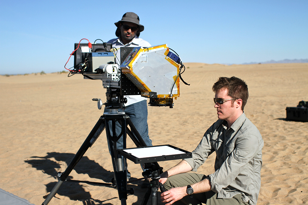
Together with university partners, NASA and USGS consistently monitor Landsat data using onboard calibration tools (e.g., calibration lamps and lunar observations) and ground-based techniques (e.g., buoys, surface radiance, and reflectance measurements) during the satellite’s operational life.
Landsat 8 uses the full moon every month to check that the sensors on the Operational Land Imager are detecting light consistently. Credit: NASA’s Goddard Space Flight Center
What is independently verified calibration?
The data trends captured with onboard calibration equipment are independently verified with vicarious calibration efforts. These include the monitoring of Landsat measurements at locations on Earth’s surface with stable ground cover (e.g., White Sands, New Mexico; Railroad Valley Playa and Lake Tahoe in Nevada) to see if the data trends reported by onboard calibration methods are likewise found in Landsat measurements made over these stable sites, known as pseudo-invariant calibration sites. Field campaigns provide another means of verifying that ground-based measurements align with Landsat observations collected at the same time.
When onboard calibration alone cannot be used to reliably adjust parameters, data from pseudo-invariant sites and field campaigns may be used to identify and make needed adjustments. For instance, the calibration team used buoy temperature data from Lake Tahoe and Lake Erie to calibrate Landsat 7’s thermal band measurements. If field data is used to adjust a satellite’s calibration parameters, it is no longer considered an independent verification source for that satellite.
Calibration teams from NASA, USGS, and partner universities meet semi-annually to compare the results of their separate Landsat data trending, providing another check on calibration.

How are results documented?
Calibration trending results are reported quarterly on the USGS EROS Cal/Val Center of Excellence (ECCOE) website. Results shared at semi-annual Cal/Val team meetings are regularly documented and published in peer-reviewed journals.
