

Landsat Provides Global View of Speed of Ice
Scientists are providing a near-real-time view of every large glacier and ice sheet on Earth with Landsat 8.
Landsat & Lasers: Your Job is to Monitor 860 Million Acres of Forest, Go!
Landsat Science Team member, Mike Wulder, spoke with the International Boreal Forest Research Association last year during their May 2015 conference in Rovaniemi, Finland.
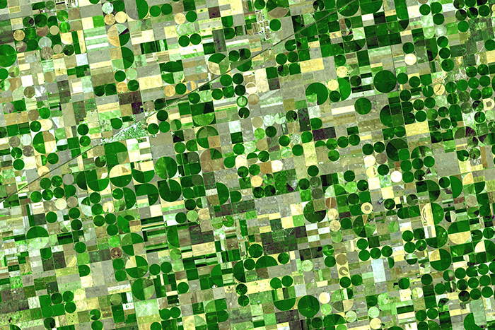
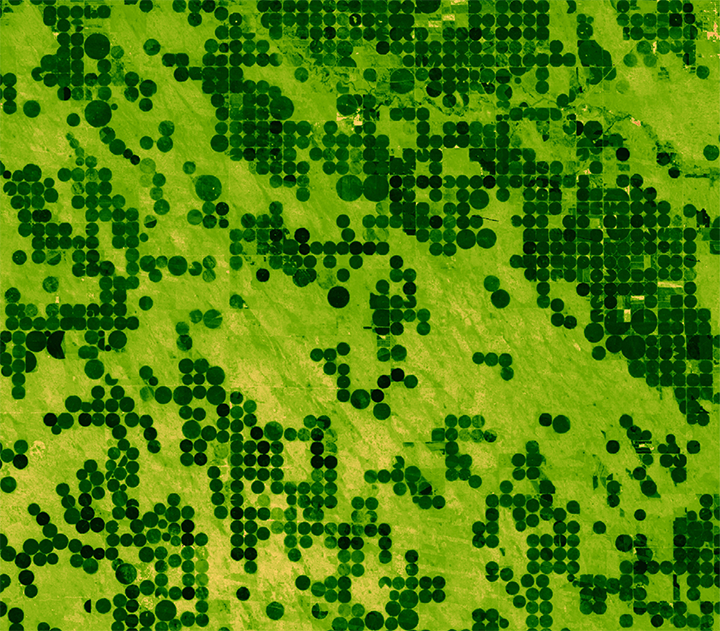
Agriculture: The View From Space
The Food and Agricultural Organization of the United Nations published an audio article about using geospatial data, including Landsat, to monitor would agriculture on soundcloud.
Landsat Helps Feed Tired And Hungry Birds
The BirdReturns program, created by The Nature Conservancy of California, is an effort to provide “pop-up habitats” for some of the millions of shorebirds, such as sandpipers and plovers, that migrate each year from their summer breeding grounds in Alaska and Canada to their winter habitats in California, Mexico, Central and South America.
Tracking Agricultural Water Use on a Smartphone
This fall scientists at the University of Nebraska, with partners at Google Inc., the University of Idaho and the Desert Research Institute, introduced the latest evolution of METRIC technology—an application called EEFLUX, which will allow anyone in the world to produce field-scale maps of water consumption.
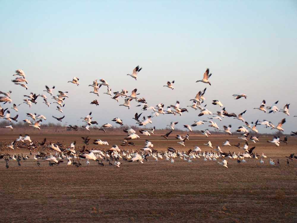
Landsat Helps Feed the Birds
The BirdReturns program, created by The Nature Conservancy of California, is an effort to provide “pop-up habitats” for some of the millions of shorebirds, such as sandpipers and plovers, that migrate each year from their summer breeding grounds in Alaska and Canada to their winter habitats in California, Mexico, Central and South America.
