
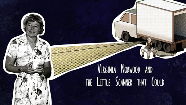
Virginia Norwood & the Little Scanner that Could
Virginia T. Norwood, known as the person who could solve impossible problems, played a crucial role in the development of the first space-based multispectral scanner instrument that flew on Landsat 1 and made the mission a success.

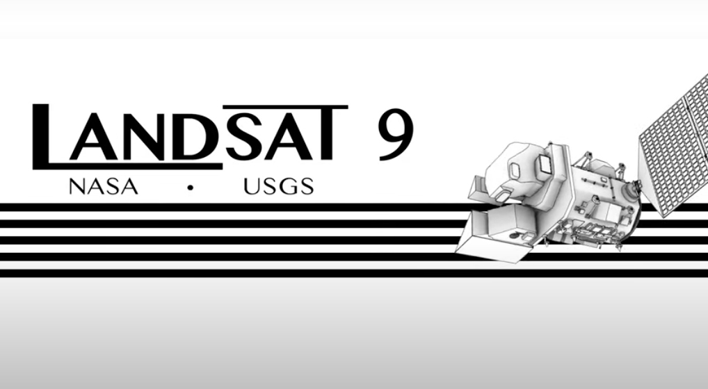
A Trip Through Time With Landsat 9
Come along on a “roadtrip” through the decades to see how the technology on Landsat has evolved with the times to provide an unbroken data record.
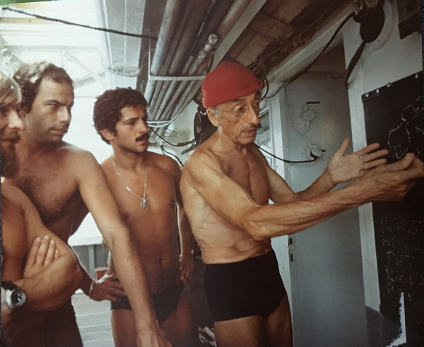
Go Now! Landsat & the Calypso Caper
This video takes you to the summer of 1975 when Jacques Cousteau and his divers helped NASA determine if Landsat could measure the depth of shallow ocean waters.
Landsat 9 at Work
For five decades, we have relied on Landsat’s high-quality, science-quality observations to understand and protect our home planet.
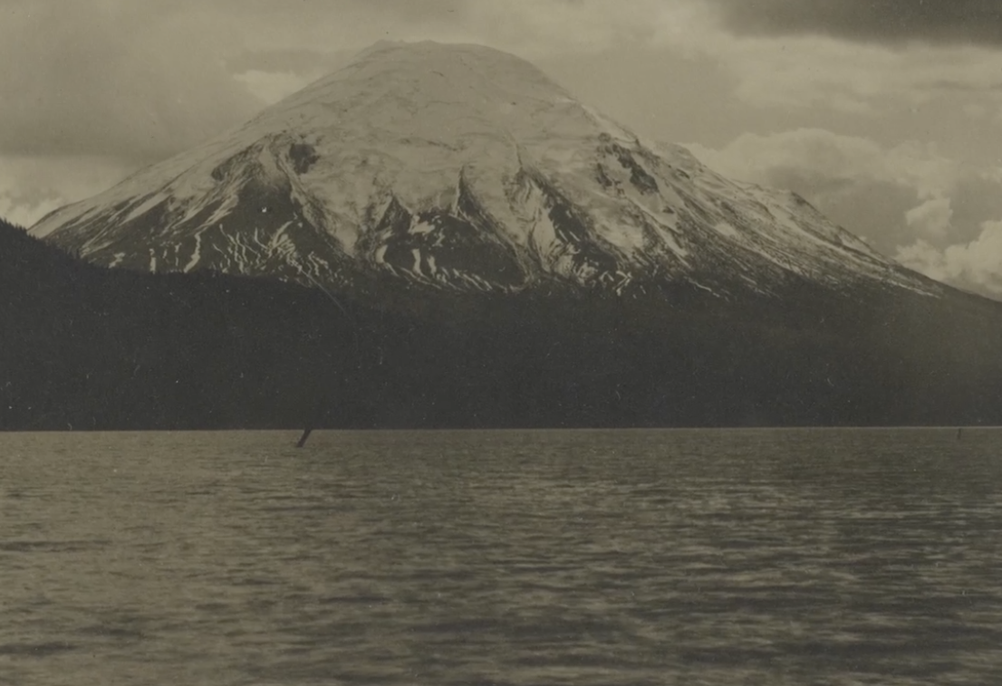
40 Years After Mount St. Helens’ Eruption, 40 Years of Forest Recovery
Landsat data (since 1972) is helping scientists Sean Healey and Zhiqiang Yang of the Rocky Mountain Research Station (U.S. Forest Service) study the long-term impact of the May 18, 1980, eruption of Mount St. Helens.

Getting a Bird’s-Eye View of Biodiversity with Landsat
This bird’s-eye view of the relationship between temperature and bird biodiversity will help conservationists figure out where to prioritize their efforts in a warming world.