
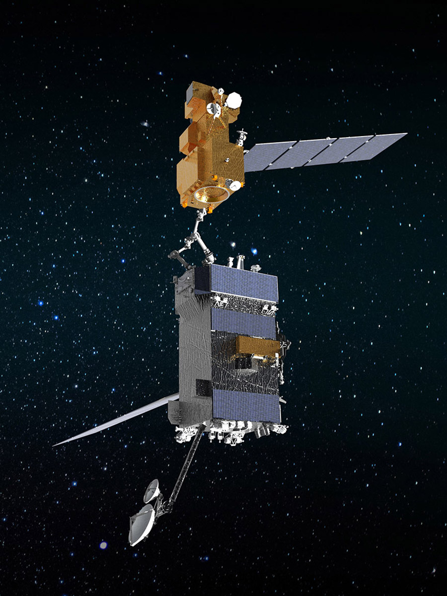
OSAM-1: Proving Satellite Servicing—Starting with Landsat 7
OSAM-1 Lead Systems Engineer Wendy Morgenstern discusses NASA’s On-orbit Servicing, Assembly, and Manufacturing 1 mission to robotically refuel Landsat 7, a satellite that wasn’t designed to be serviced.
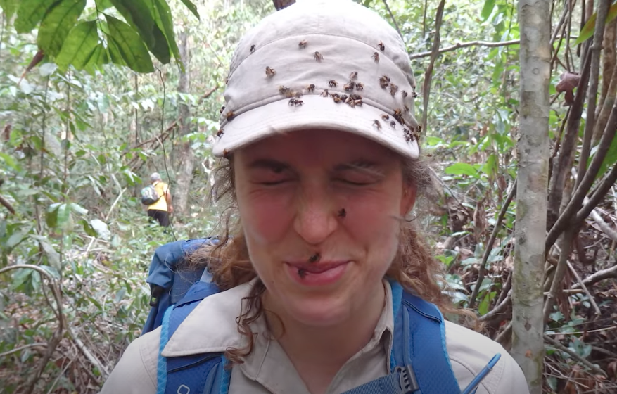
How Scientists Used Acoustic Soundscapes and Satellites to Assess the Health of the Amazon Rainforest
Scientists from NASA’s Goddard Space Flight Center and the University of Maryland, College Park, investigated how the acoustics of a forest can be a cost-effective indicator of its health—and Landsat allowed them to see back in time.
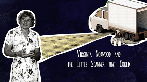
Virginia Norwood & the Little Scanner that Could
Virginia T. Norwood, known as the person who could solve impossible problems, played a crucial role in the development of the first space-based multispectral scanner instrument that flew on Landsat 1 and made the mission a success.
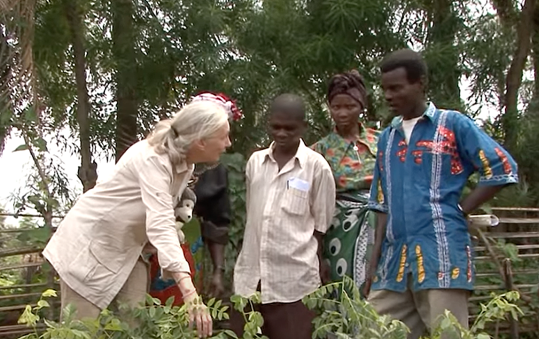
Satellite Data Helps Jane Goodall Protect Chimpanzee Habitats (Video Trailer)
The Jane Goodall Institute (JGI) uses satellite observations, including data from the NASA and USGS Landsat satellite series, in their efforts to work in partnership with local residents to understand and protect chimpanzee habitats.
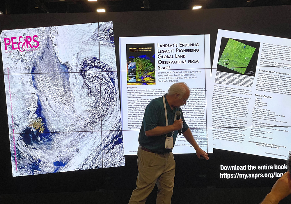
Landsat Goes to the Library
Landsat made a solid showing at the annual ALA conference (considered “the world’s biggest library event”) in Washington, D.C. this month.
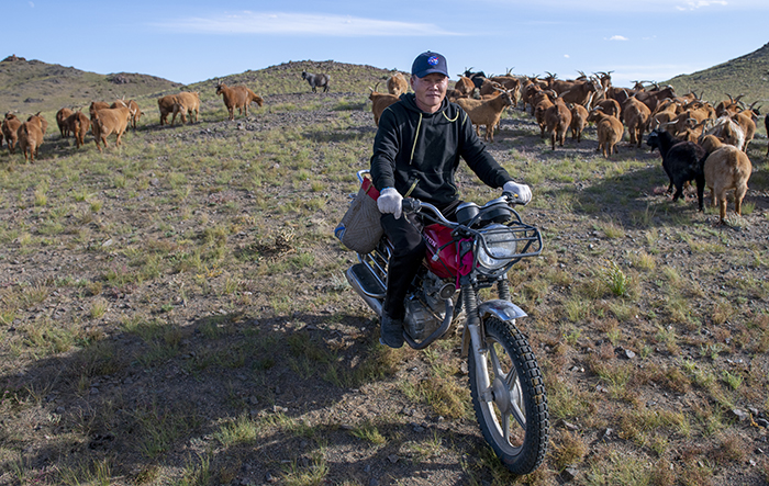
NASA “Steppes” onto the Runway to Make Mongolian Cashmere Sustainable
Landsat allows herders to monitor vast expanses of desert in a way traditional field monitoring can’t support.
