
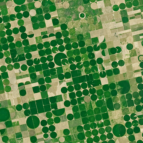
Landsat: Farming Data From Space
With Landsat data, farmers can find new ways to grow more crops with less water.
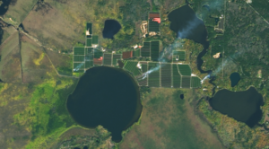
Satellites Track Status of Nation’s Food Supply
Farmers across the Midwest are in a race to finish harvesting their corn, soybean, and other staples of the Thanksgiving dinner table before the first crop killing freeze sets in.
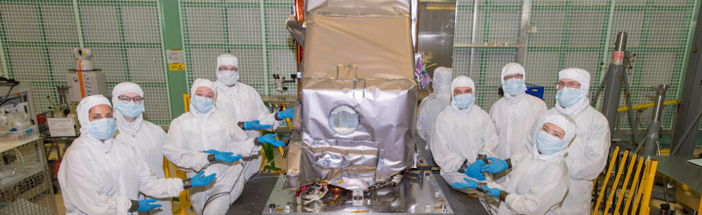
New Landsat Infrared Instrument Ships from NASA
This month, TIRS-2 successfully passed the stringent 12-week testing process at NASA’s Goddard Space Flight Center and was shipped to Northrop Grumman’s facility in Arizona.