
Calibration Update To ETM+ Thermal Band
Source: USGS Effective January 1, 2010, the calibration of the ETM+ thermal band was modified to correct for a lifetime gain error detected by the vicarious calibration teams. Changes were made
Landsat Science Team Meeting Held
A Landsat Science Team Meeting was held between Jan. 19–21, 2010 at the Computer History Museum in Mountain View, California. The meeting included updates regarding Landsat 5 and 7 status,
Water Watchers
Dean Stevenson has farmed the plains of south-central Idaho most of his forty-seven years. Like all farmers, he worries about things like the price of sugar beets and malt barley
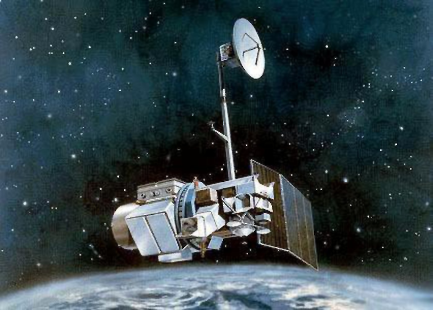
Landsat 5 Returns to Operations
Source: USGS Landsat 5 has continued to downlink data successfully. Data is available for order and download beginning with acquisitions on January 10, 2010.
Spaceflight Now: Landsat Hanging On
In an article written for Spaceflight Now, Stephen Clark chronicles the recent triumph of Landsat 5 over a failed downlink transmitter in December.
Landsat 5 Transmits Data
Source: USGS Today, on January 7, 2010, the U.S. Geological Survey ground station at Sioux Falls, South Dakota successfully conducted a test to collect data from Landsat 5. Continued testing is
Landsat: Earth Observations for a Changing World
Bruce Quirk, the USGS land remote sensing program coordinator, has penned an article for IEEE’s earthzine about the Landsat program, the data’s value, data access, and the future. + “Landsat: Earth Observations for
Presentations From Landsat Data Product Workshop Available
Source: USGS A Landsat Data Products Workshop was held at Boston University, MA. October 27–29, 2009. Workshop goals were to: (1) Define a set of Landsat-based products of general use and
Landsat at COP15
During COP15, the United Nations’ International Climate Change Conference held in Copenhagen from Dec. 7–18, 2009, Landsat satellite data were acknowledged as an important tool in monitoring carbon. The philanthropic
Calibration Update To ETM+ Thermal Band
Source: USGS Effective January 1, 2010, the calibration of the ETM+ thermal band was modified to correct for a lifetime gain error detected by the vicarious calibration teams. Changes were made
Landsat Science Team Meeting Held
A Landsat Science Team Meeting was held between Jan. 19–21, 2010 at the Computer History Museum in Mountain View, California. The meeting included updates regarding Landsat 5 and 7 status,
Water Watchers
Dean Stevenson has farmed the plains of south-central Idaho most of his forty-seven years. Like all farmers, he worries about things like the price of sugar beets and malt barley
Landsat 5 Returns to Operations
Source: USGS Landsat 5 has continued to downlink data successfully. Data is available for order and download beginning with acquisitions on January 10, 2010.
Spaceflight Now: Landsat Hanging On
In an article written for Spaceflight Now, Stephen Clark chronicles the recent triumph of Landsat 5 over a failed downlink transmitter in December.
Landsat 5 Transmits Data
Source: USGS Today, on January 7, 2010, the U.S. Geological Survey ground station at Sioux Falls, South Dakota successfully conducted a test to collect data from Landsat 5. Continued testing is
Landsat: Earth Observations for a Changing World
Bruce Quirk, the USGS land remote sensing program coordinator, has penned an article for IEEE’s earthzine about the Landsat program, the data’s value, data access, and the future. + “Landsat: Earth Observations for
Presentations From Landsat Data Product Workshop Available
Source: USGS A Landsat Data Products Workshop was held at Boston University, MA. October 27–29, 2009. Workshop goals were to: (1) Define a set of Landsat-based products of general use and
Landsat at COP15
During COP15, the United Nations’ International Climate Change Conference held in Copenhagen from Dec. 7–18, 2009, Landsat satellite data were acknowledged as an important tool in monitoring carbon. The philanthropic
