
TIME-lapse TRAVEL
Watch forests regrow on the moonscape of ash left by the 1980 eruption of Mount St. Helens.
Did You Know?
We can see the recovery of forest fires from space – even 30 years later.
+ Landsat & Yellowstone fire Recovery
![]()
Dealing with Disasters
As landscapes change along with the climate, Landsat and other satellites are giving fire managers valuable information that helps protect people.

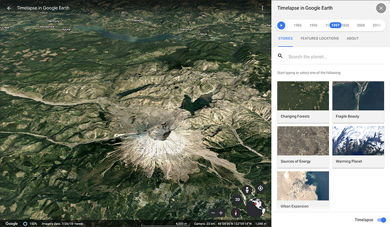
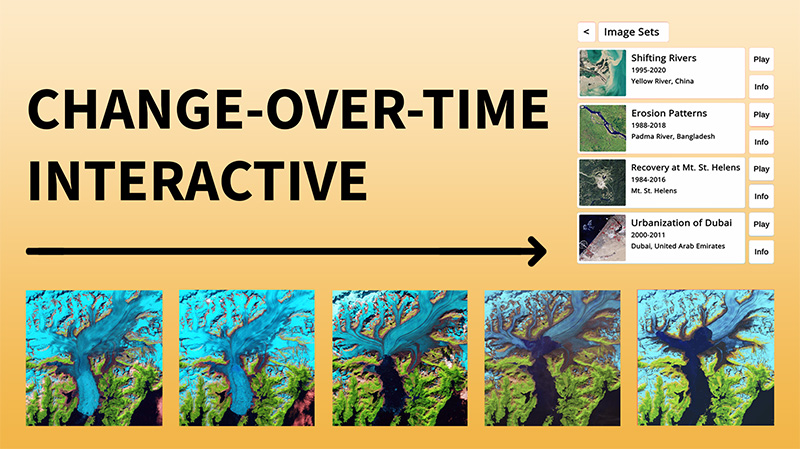
Landsats long data record allows us to see slow changes on our planet. Test your skills in putting these Landsat scenes in order to see change-over-time.
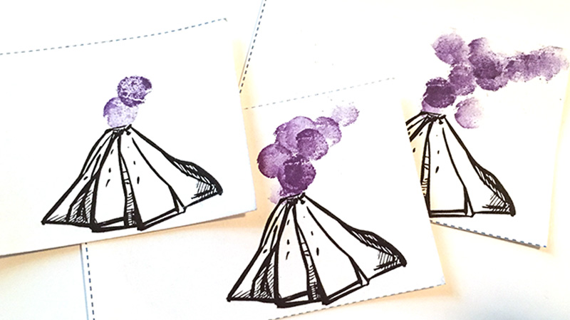
Make a flipbook to watch how the volcanic ash and sulfur dioxide from the eruption of the Calbuco volcano in South America traveled around the world.
Landsats long data record allows us to see slow changes on our planet. Test your skills in putting these Landsat scenes in order to see change-over-time.
Make a flipbook to watch how the volcanic ash and sulfur dioxide from the eruption of the Calbuco volcano in South America traveled around the world.
Artistic view of ‘Once-in-a-century’ flood 2018 in Kerala. H block and D block area near Kainakari, Alappuzha.
Create your own Landsat inspired craft and share with #LandsatCraft.
Credit: Navaneeth Krishnan
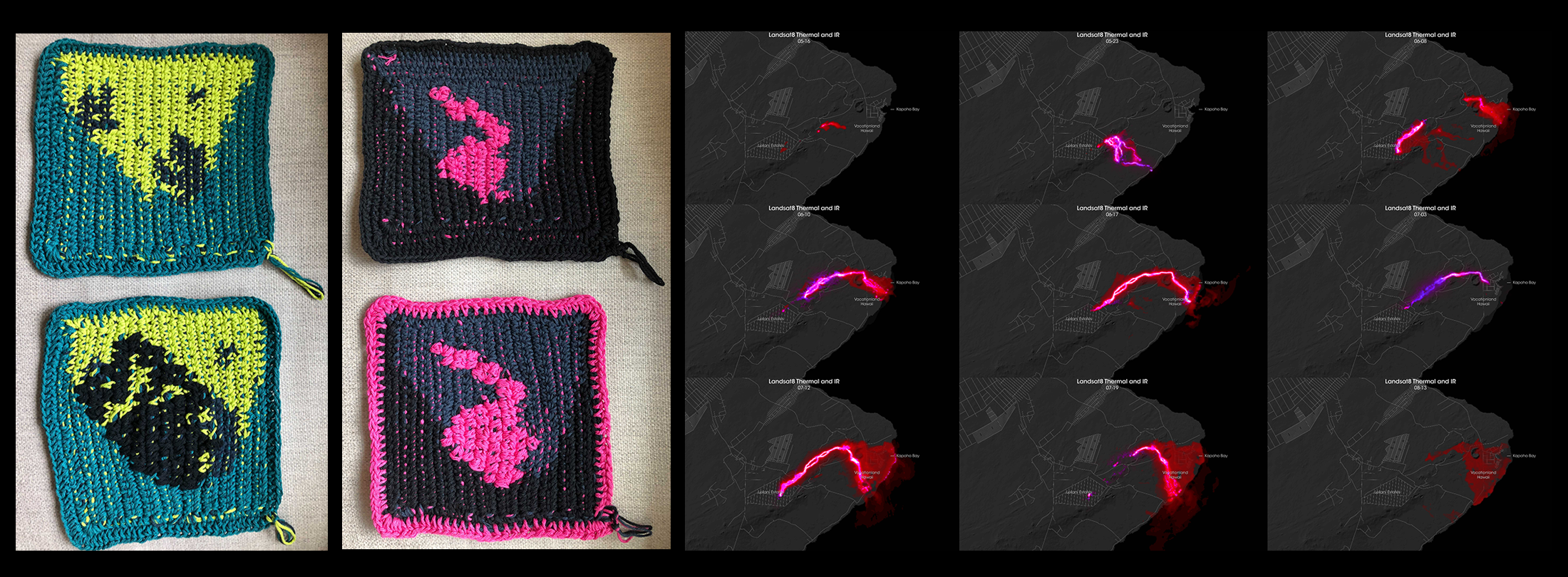
These crochet hot pads were inspired by the 2018 eruption of Hawaii’s Kilauea volcano.
Credit: Ellen Gray
Artistic view of ‘Once-in-a-century’ flood 2018 in Kerala. H block and D block area near Kainakari, Alappuzha.
Create your own Landsat inspired craft and share with #LandsatCraft.
Credit: Navaneeth Krishnan
These crochet hot pads were inspired by the 2018 eruption of Hawaii’s Kilauea volcano.
Credit: Ellen Gray
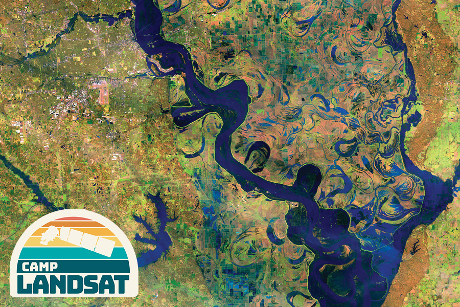
Postcard from Camp
Collect all nine postcards from Camp Landsat continuing with Week 6: Fires & Floods. Volcanoes, floods, fires… Disasters can rewrite maps in an instant. Landsat is there to help. The front of this postcard features a false-color Landsat 8 image of flooding along the Mississippi River in Memphis, Tennessee acquired on February 25, 2019.
EOKids
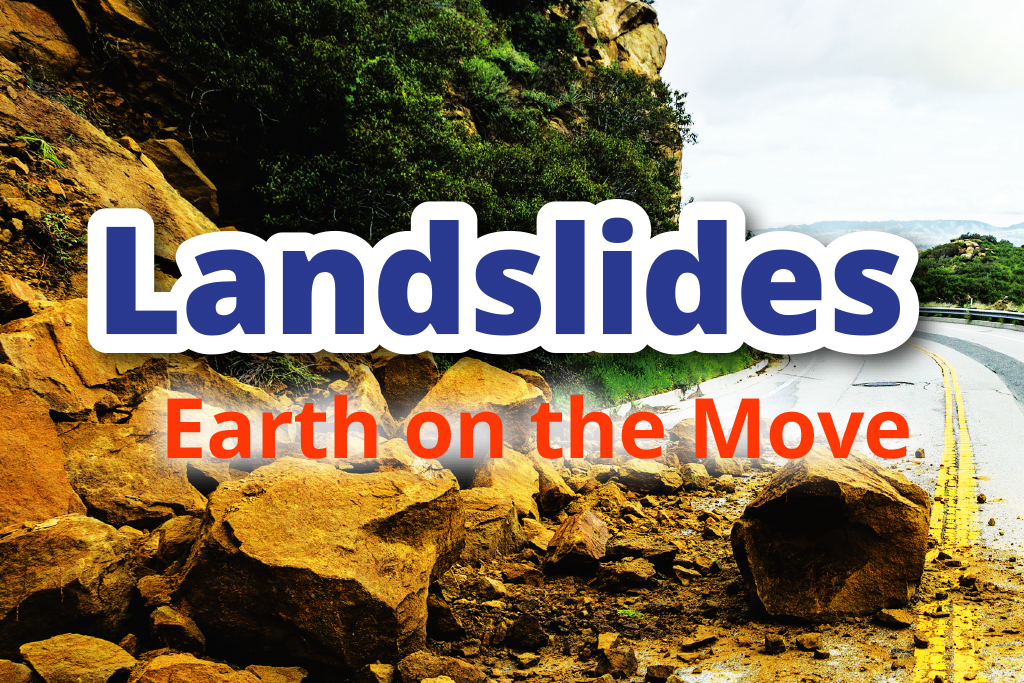
Explore how NASA is using satellite data to find and prepare for potential landslides in Landslides: Earth on the Move.