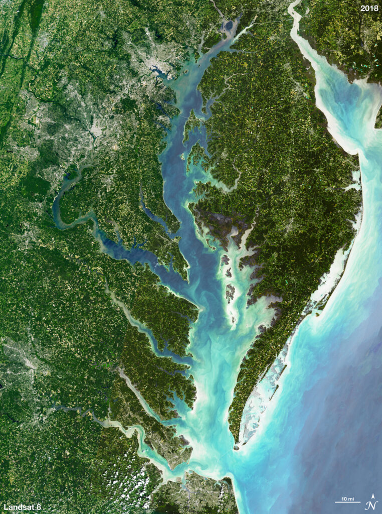
This natural-color Landsat 8 mosaic was made using the band combination 4-3-2 (Red-Green-Blue). A water mask was also added on top of the natural-color composite in order to better distinguish the water from the land. The image was then pan-sharpened using band 8 to increase the spatial resolution of the image from 30 meters to 15 meters.