Presentation title:
Remote Sensing of Water Quality in the Niger River Basin
What are the major findings of your research?
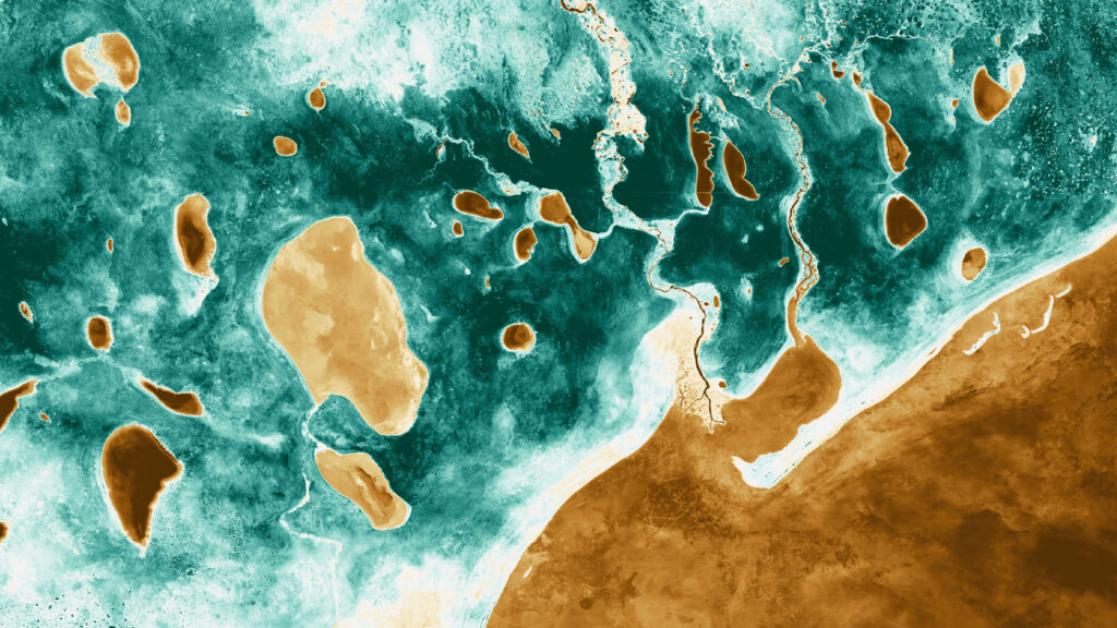
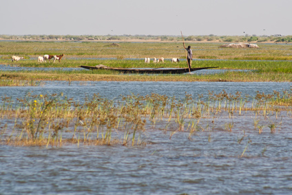
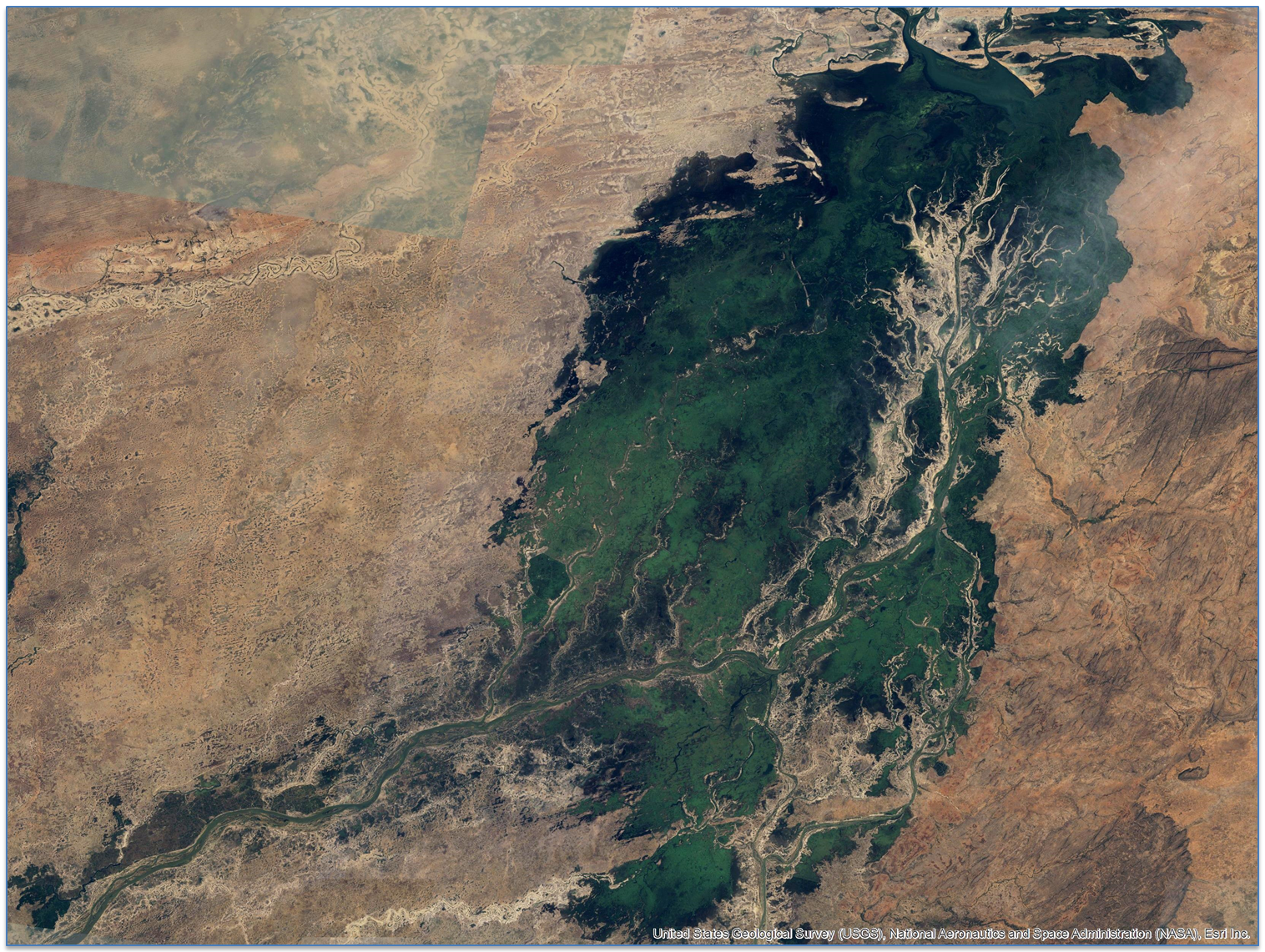
The project focused on taking previously applied water quality knowledge and accumulating the results in a training package for National Geospatial-Intelligence Agency (NGA) analysts. The package identifies the lack of in situ data, and limited spectral, spatial, and temporal coverage as challenges when using Landsat and MODIS sensors and then demonstrates those challenges within five study areas in Western Africa. Additionally, two analog sites demonstrate the improved reliability from the inclusion of in situ data as well as the benefits of using spectral bands specific for the measurements being made. Overall, current satellite data can be used in the Niger River basin to monitor long term trends of water quality variables.
What insight did you gain from Landsat that would have been impossible to glean otherwise?
Until recently the NGA has relied on very high spatial resolution imagery to assess environmental conditions that may pose threats to national security. This project has demonstrated the beneficial use of Landsat to assess water quality at a regional scale, which enables a broader understanding of changing environmental conditions.
Are you planning to use Landsat data together with Sentinel-2a and -2b?
As the partnership with the NGA continues, our expectation is to expand our package to include Sentinel-2a and -2b.
Do your foresee a widely used water quality tool that could result from your research?
We’ve already developed a tool that allows users to batch process and analyze the data. The tool was designed to prepare products and data for the NGA GEONarrative. Pending NGA approval, we may be able to make the tool more widely available.
Co-authors:
Sherry Palacios
NASA Ames Research Center
Cristina Milesi
NASA Ames Research Center
Cindy Schmidt
NASA Ames Research Center
Bay Area Environmental Research Institute Moffett Field
Oliwia Baney
DEVELOP National Program
University of California Los Angeles
Ase Mitchell
DEVELOP National Program
University of California Berkeley
Emily ‘Chippie’ Kislik
DEVELOP National Program
University of California Berkeley
Laura Palmer-Moloney
U.S. Army Corp of Engineers
Anyone can freely download Landsat data from the USGS EarthExplorer or LandsatLook.
Further Reading:
+ Landsat at #AGU15