At the ESRI 2011 Federal User Conference (Jan. 19–21; Washington, D.C.) participants learned that ESRI is planning to incorporate four different layers of Landsat data from different time periods into its latest version of ArcGIS along with change detection tools. This applications known as a multi-temporal Landsat service is expected out in February 2011.
For more information:
+ “Esri Federal User Conference Takeaways,” by Adena Schutzberg, Directions Magazine [external link]

Landsat & LCLUC: Science Meeting Highlights
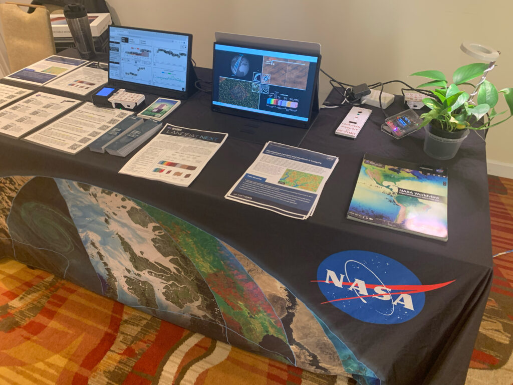
Outreach specialists from the Landsat Communications and Public Engagement team participated in community engagement efforts at the joint NASA and University of Maryland Land Cover Land Use Change (LCLUC) meeting.


