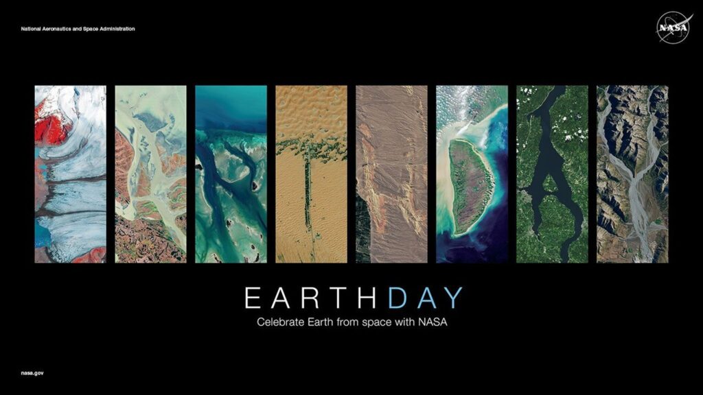
 Landsat images are part of a Smithsonian Institution traveling exhibition called “Earth from Space.” The exhibit was jointly developed by the Smithsonian, the U.S. Geological Survey (USGS) and Global Imagination. The tour kicks off at the Smithsonian National Air and Space Museum on Saturday, November 11.
There is also an accompanying online exhibition that features the satellite images along with information on the satellites themselves and lesson plans for teachers.
+ Visit Earth from Space (external link)

Hispaniola’s Changing Forests
Haiti lost nearly half of its primary forests between 1996 and 2022, with fires and tree-cutting being major drivers of loss, according to a new study.


