Landsat Next Defined

Landsat Next Defined

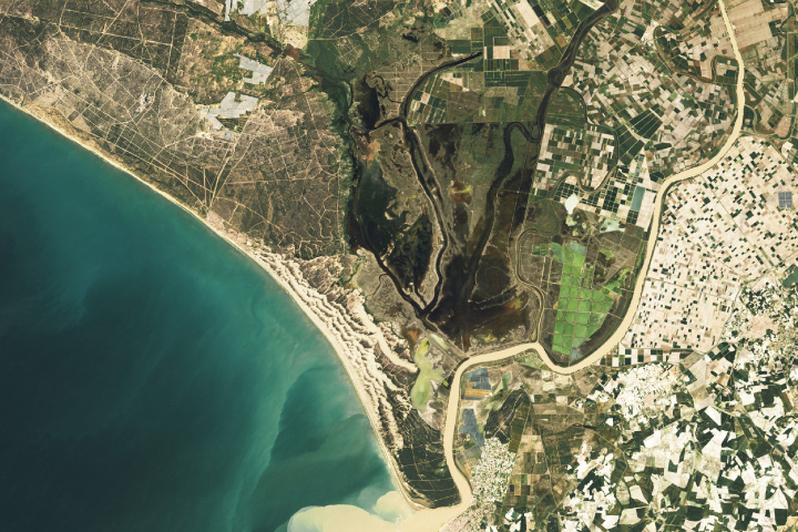
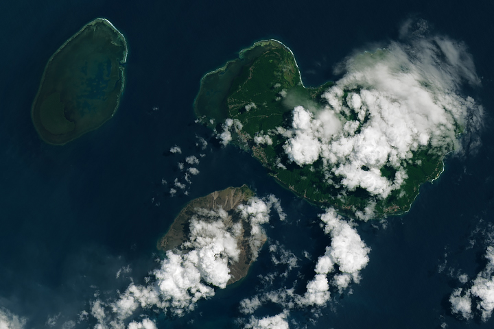
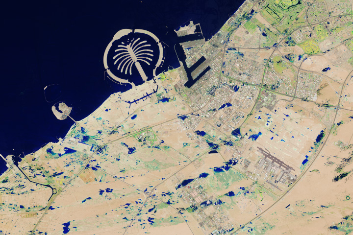
Landsat Next is on the horizon—the new mission will not only ensure continuity of the longest space-based record of Earth’s land surface, it will fundamentally transform the breadth and depth of actionable information freely available to end users. Take a look at the new capabilities that will define the next Landsat mission.

Read More »
Landsat Next Defined

Landsat Next Defined

Landsat Next is on the horizon—the new mission will not only ensure continuity of the longest space-based record of Earth’s land surface, it will fundamentally transform the breadth and depth of actionable information freely available to end users. Take a look at the new capabilities that will define the next Landsat mission.

Read More »

“The quality of the Landsat 8 images is simply amazing!”


“Landsat, now one of the largest and most powerful tranches of Earth-science data, is an invaluable scientific resource.”


“Work has begun on the next mission, Landsat 9, with launch scheduled for late 2020. Plans for the next generation of Landsat are also underway, with a series of studies leading to a decision on the Landsat 10 and beyond architecture in 2018.”


“We are looking forward to new exciting data to complement Landsat observations and to collaborative research—especially because ESA followed USGS in its open data policy.”


“It is undeniable that having access to long-term satellite data has allowed ecologists and environmental managers to increase their understanding of the natural world, to make predictions about how this world might transform and to design efficient mitigation and adaptation strategies in the face of global environmental change.”


“I am a big fan of Landsat 8 satellite images as a resource when making maps.”


“One of the things we like about the [Landsat] satellite is that as it orbits the Earth it is calibrated consistently so we have a globally constant picture that we can make comparisons—apples to apples—of what’s happening. We can drill down to countries, even parks, and say this is what is happening at a local scale. That is another really powerful part of this big data story.”


“The advent of Landsat data enabled an unparalleled increase in our understanding of the Earth system.”


“This portal harnesses more than 37,000 images from Landsat archives, dating back to the early 1970s, to track changes in outlet glaciers over time.”


“We show governments across the world that it makes financial sense to release broadly and openly the data that the taxpayer has already paid for. It will build your economy, it is certainly good for transparent government and, it is a boon for capacity building and education.”


“The Landsat program doesn’t produce images like the ones of astronauts playing golf on the moon nor geologists scaling an erupting volcano, but it has created one of the most important scientific repositories of data ever made.”


“We like to think about Landsat as being, for this particular problem, sort of the sweet spot—the perfect asset. We found Landsat was really good at mapping the bulk of biomass for this particular test area we were looking at.”


“When we showed historical Landsat and more recent high resolution images to communities and shared our analysis, people realized what they’d lost over time and wanted to engage in conversations about how to bring the forests back.”


“I saw more use of Landsat as the gold standard of calibration than I’ve ever seen in the past. Most of the commercial vendors I heard from called out Landsat as the gold standard. Even the European vendors called out Landsat, which I thought was unique.”


“This is an example of something government can do well: investing in infrastructure that broadly benefits society, and provides a stable platform for the development of businesses and economic activity. Landsat is the data equivalent of the interstate highway system, a public good that has spawned a thriving for-profit remote sensing industry in the US and beyond.”


“Having a carefully calibrated multi-satellite record allows us to ensure that we are recording changes to the Earth, and not simply changes in the instrument response. The more detailed observations from Landsat 8 and Landsat 9 allow these subtle changes to be teased out of the long-term record unambiguously.”


“Landsat, with its five-decade record of robust collection, calibration and archiving, and its longstanding service as a global reference to cross-calibrate other missions, improves not only the quality of those systems but the overall quality of the global ‘system of systems’.”


“Landsat is providing better [surface] water data—not just at the state level or nationally, but globally”


“We’ve got this data of every field, of every country…. the archive is just going to continue to yield good information, good science, better management, reduce costs. It’s incredible.”


“Landsat is proof-positive of the value of Earth observation data, and particularly open access to Earth observation data.”


“At Google, we use Landsat data on a daily basis.”


“By combining the 34-year record provided by Landsat [30 m] with climate data, we can now quantify relations between water availability and vegetation dynamics in ways that were not previously possible.”


“It’s hard to quantify the value of Landsat, but the last time USGS tried in 2017 they estimated that it produces $3.45B in value to society annually. There’s a second important conclusion buried in that study: if they tried charging for the data, that value would likely vanish in the blink of an eye.”


“Remote sensing with satellites such as Landsat and sensors such as MODIS allows scientists to conduct a range of studies they wouldn’t otherwise be able to.”


Landsat 9 bw
Landsat 9 bw
Landsat 9 bw

The NASA/USGS Landsat Program provides the longest continuous space-based record of Earth’s land in existence. Landsat data give us information essential for making informed decisions about Earth’s resources and environment.