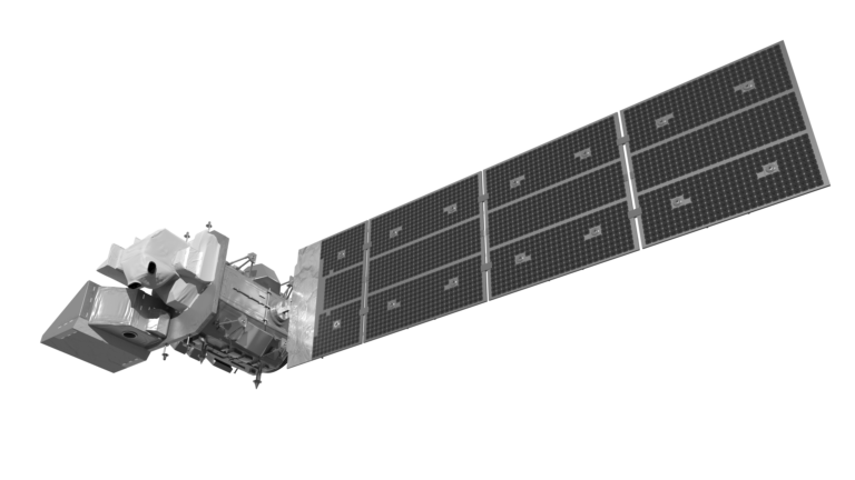
Landsat 9
The Landsat Program
This joint NASA/USGS program provides the longest continuous space-based record of Earth’s land in existence. Every day, Landsat satellites provide essential information to help land managers and policy makers make wise decisions about our resources and our environment. + Landsat Case Studies ebook
Landsat 9—Continuing the Legacy
This new four-part video series shares the history of Landsat, how Landsat 9 works, how Landsat…

Landsat Imagery Could Help an Endangered Bird
Landsat imagery together with the processing power of Google Earth Engine were used to model the best habitat for rails along the Lower [...]
Greenland’s Retreating Glaciers Could Impact Local Ecology
Many of the Greenland’s glaciers are retreating while also undergoing other physical changes. [...]