Landsat Image Maps Aid Fire Recovery Efforts
Contributor: Melissa Quijada, NASA Goddard Space Flight Center NASA satellite images regularly map active fires around the world. Once a fire is out, satellite data and

Contributor: Melissa Quijada, NASA Goddard Space Flight Center NASA satellite images regularly map active fires around the world. Once a fire is out, satellite data and
Source: Rani Gran, NASA/GSFC; Jon Campbell, USGS; Roz Brown, BATC The Operational Land Imager (OLI), built by Ball Aerospace & Technologies Corp., Boulder, Colo., has
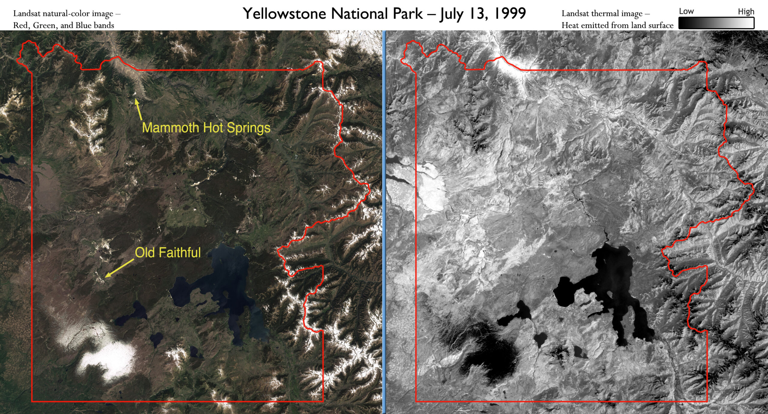
Yellowstone National Park sits on top of a vast, ancient, and still active volcano. Heat pours off its underground magma chamber, and is the fuel
