
At the Bottom of the World, Satellites Are Guiding Commerce and Conservation
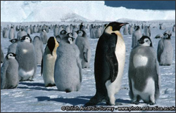
MAPPPD is the first free, open-access Antarctic decision support system that integrates remotely sensed inputs, such as Landsat 7 images and MODIS sea ice data, to provide an assessment of Adélie and other penguin species across the frozen continent.
