Satellite Imagery Helps Farmers Cut Water Use in Half
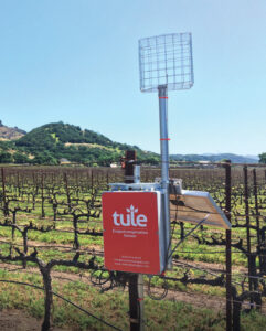
A young start-up is using satellite data to give California farmers better information about water, which can translate into water savings or bigger yield for the same input.

A young start-up is using satellite data to give California farmers better information about water, which can translate into water savings or bigger yield for the same input.
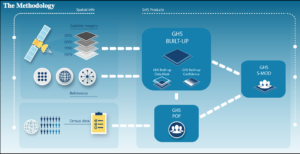
A number of new data products with information derived from Landsat inputs have become available recently.
