
Eyes on the Snow as Water Supplies Dwindle
Airborne Snow Observatories, Inc. uses higher-resolution snow cover data from Landsat to update their model snow cover.

Airborne Snow Observatories, Inc. uses higher-resolution snow cover data from Landsat to update their model snow cover.
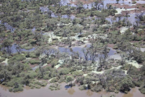
More frequent satellite observations, such as those of the Harmonized Landsat Sentinel-2 (HLS) dataset, are needed to fully capture flood dynamics in regions experiencing short-lived, ephemeral flooding.
