Satellite Data Helps Bangladeshi Farmers Save Water, Money, Energy
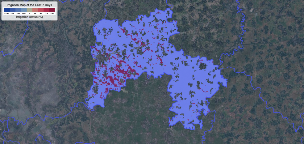
Satellite data are providing information to Bangladeshi farmers about how much water they are using, how much they have, and how much their crops need.

Satellite data are providing information to Bangladeshi farmers about how much water they are using, how much they have, and how much their crops need.
