
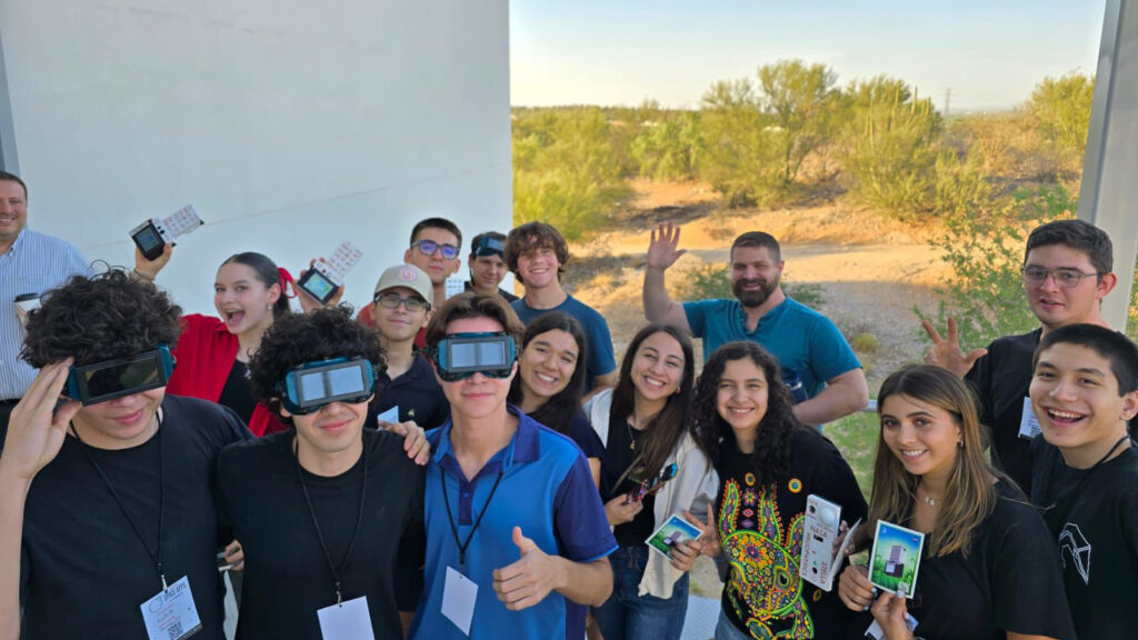
Participants in Hermosillo, Mexico participated in the Space Apps Challenge to create an easy-to-use app to access and download Landsat data.

Landsat collects data that helps effectively deal with intensifying wildfires—at all stages of the fire cycle.
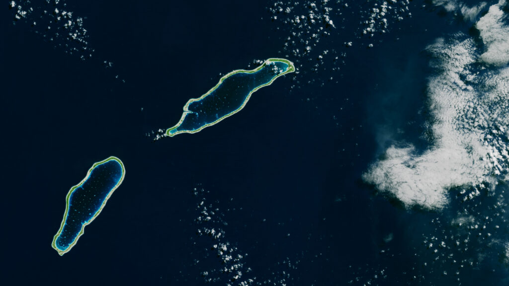
Monitoring the temperature of tiny atoll lagoons is important for the local economy and ecosystem. A new study shows that Landsat can help.

Participants in Hermosillo, Mexico participated in the Space Apps Challenge to create an easy-to-use app to access and download Landsat data.

Landsat collects data that helps effectively deal with intensifying wildfires—at all stages of the fire cycle.
