After a Fire, Before a Flood: NASA's Landsat Directs Restoration to At-Risk Areas

After a Fire, Before a Flood: NASA's Landsat Directs Restoration to At-Risk Areas

While the 138,000-acre Silver Fire still smoldered in New Mexico, forest restoration specialists were on the job, analyzing Landsat data to determine where to focus restoration efforts.

Post Last Updated on August 21, 2013
On Key

Recent Posts

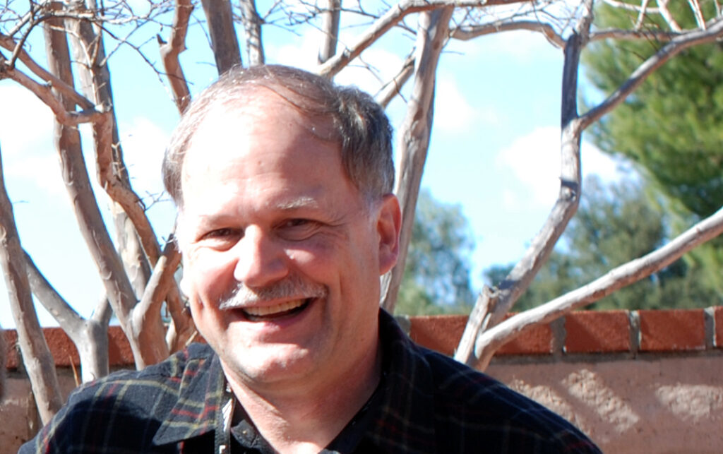
A headshot of Brian Markham. Tree branches can be seen in the background; Brian is smiling.

Data as Good as it Gets:
A Discussion with Brian Markham

Why do we calibrate Landsat data? We spoke with Brian Markham, a key figure of Landsat calibration science for four decades. He said that it all comes down to this: “If we’re using a system to quantify changes on the Earth, we must make sure the system we’re using is not changing.”

Read More »
On Key

Related Posts

A headshot of Brian Markham. Tree branches can be seen in the background; Brian is smiling.

Data as Good as it Gets:
A Discussion with Brian Markham

Why do we calibrate Landsat data? We spoke with Brian Markham, a key figure of Landsat calibration science for four decades. He said that it all comes down to this: “If we’re using a system to quantify changes on the Earth, we must make sure the system we’re using is not changing.”

Read More »