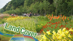
How You Can Help Make a Better World Land Map
Using the technology inside your phone, you can help scientists classify land cover and track changes.

Using the technology inside your phone, you can help scientists classify land cover and track changes.
A five-year, $6.25 million dollar grant to support nationwide remote sensing education, outreach, and research has been granted to AmericaView.
NASA satellites are helping Wisconsin develop a clearer picture of its diverse and abundant fauna.
Citizen scientists worldwide are invited to take part in marine ecology research, and they won’t have to get their feet wet to do it. The Floating Forests project, an initiative spearheaded by scientists at UC Santa Barbara and UCLA, is calling on would-be researchers to examine 30 years of satellite photographs of coastal kelp-dominated areas around the globe to help identify their various sizes and locations.