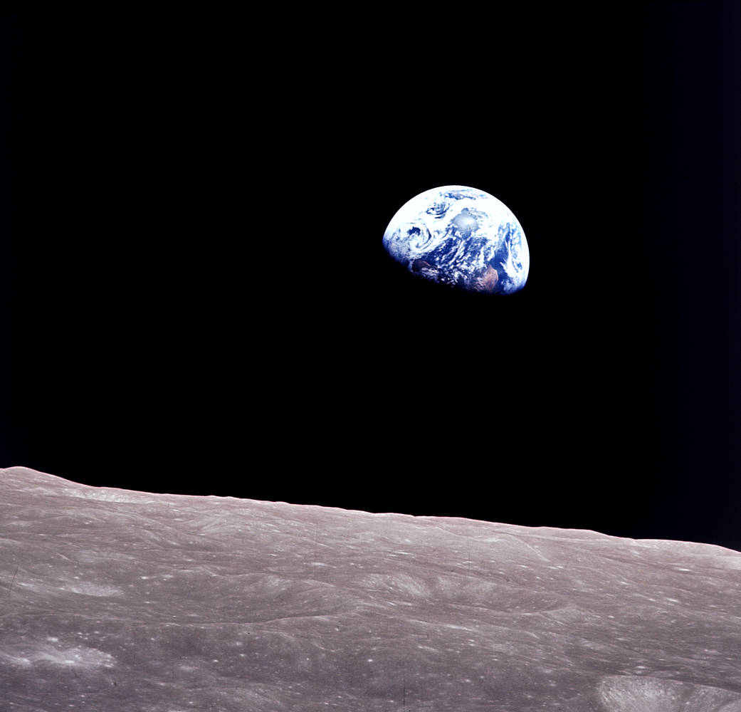
Remembering Bill Anders
Anders, 90, the astronaut who captured the iconic Earthrise photograph, died on June 7, 2024, when the plane he was piloting crashed into the San Juan Channel.

Anders, 90, the astronaut who captured the iconic Earthrise photograph, died on June 7, 2024, when the plane he was piloting crashed into the San Juan Channel.
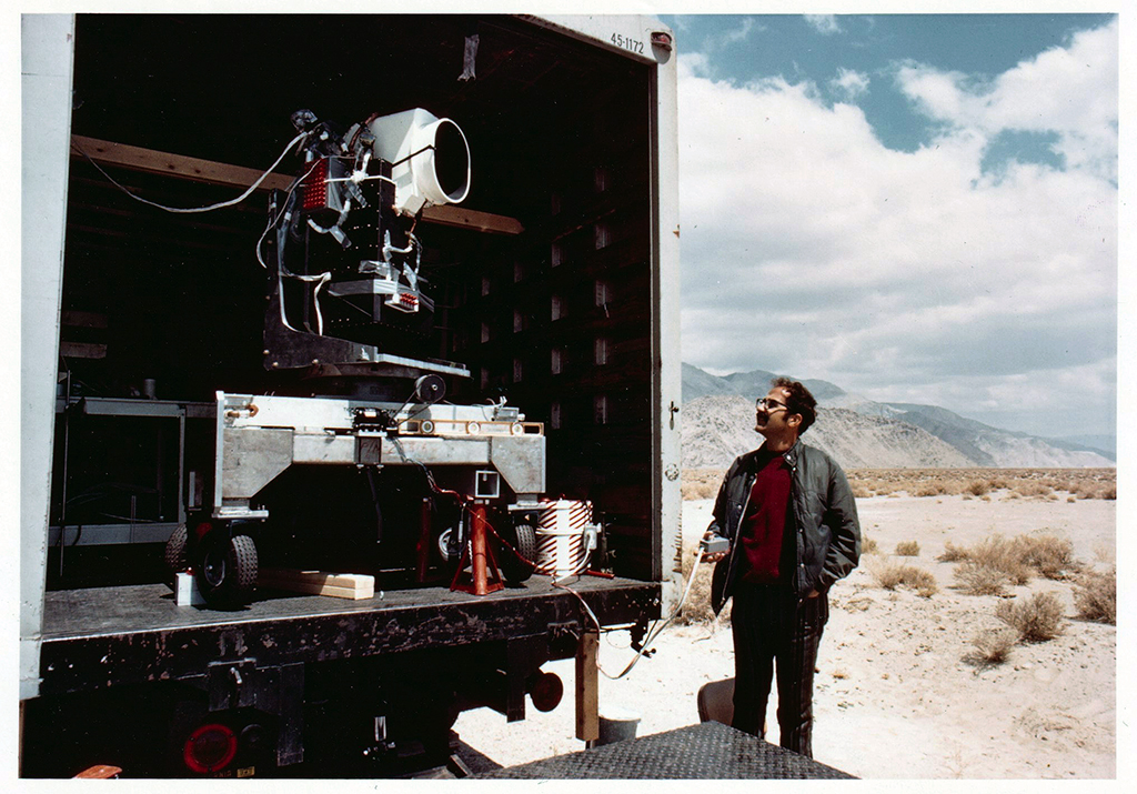
Two months before the launch of Landsat 1, the engineering model of the satellite’s multispectral scanner system went on a California road trip.
Landsat 8 very nearly flew without a thermal infrared sensor. This is the backstory of how TIRS made it onto Landsat 8.

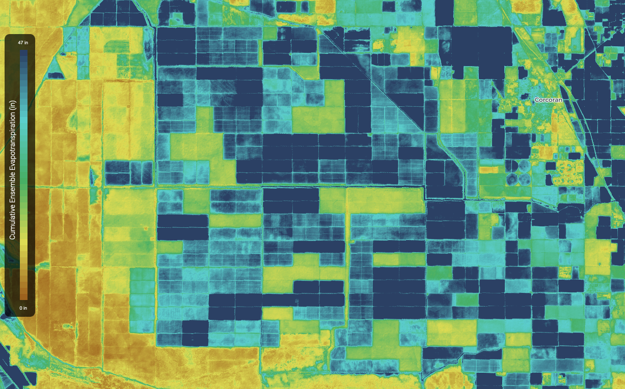
Come along on a “roadtrip” through the decades to see how the technology on Landsat has evolved with the times to provide an unbroken data record.
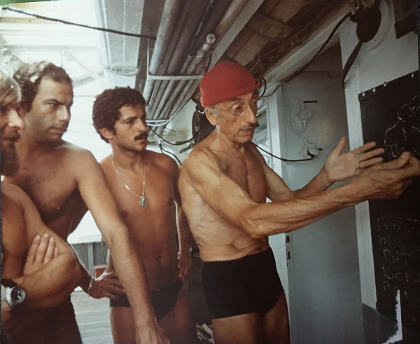
This video takes you to the summer of 1975 when Jacques Cousteau and his divers helped NASA determine if Landsat could measure the depth of shallow ocean waters.
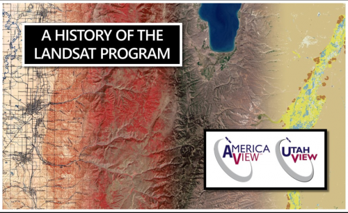
UtahView’s Ellie McGinty has created a Google Earth Web Map showcasing Landsat’s history.

We have Virginia Norwood to thank for the design and engineering that made the Landsat program a success and set the path for modern Earth observation.

Uncharted, a cartographic art installation, was on display for the 2017 Pecora 20 in Sioux Falls, South Dakota.
