Search
Close this search box.

Host Site Resources

Host Site Resources

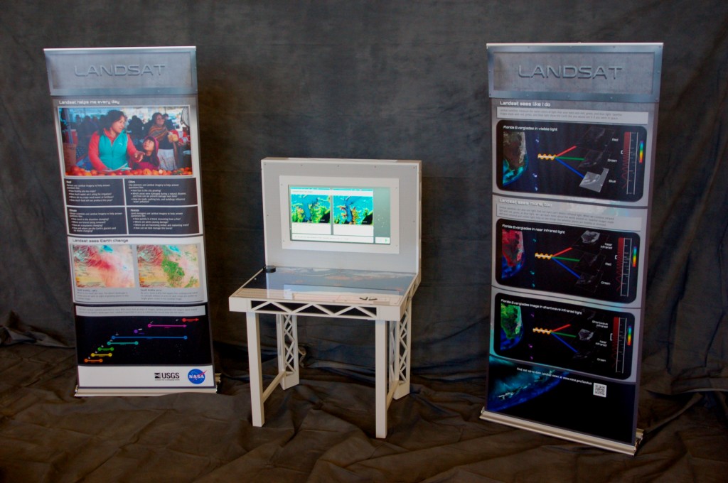
Landsat Traveling Exhibit image
Congratulations on being selected to host Landsat: Seeing in a Different Light! Soon you’ll be exploring Earth through Landsat satellite images with visitors from your institution. Here you can find information on setting up the exhibit, evaluating the exhibit, and contact information for Landsat’s Education and Public Outreach team.

Application

Setting Up

Evaluation

See it for yourself and explore the exhibit before you apply:
+ Download PDF of Main Console (4.7 Mb)
+ Download PDF of Left Panel (2 Mb)
+ Download PDF of Right Panel (2.9 Mb)

On Key

Recent Posts

1911 USGS map

Creating an Oasis in the Desert: Lake Havasu City, Arizona, 1911

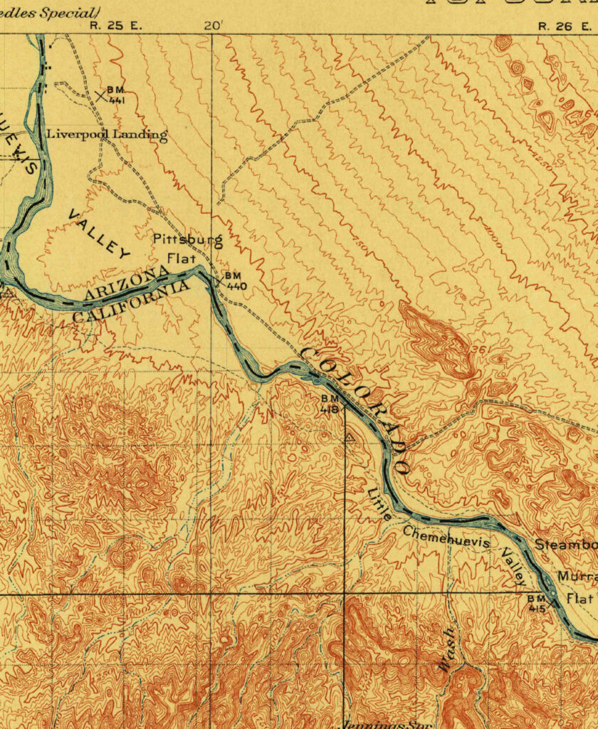
Parker Dam was constructed on the California-Arizona border on the lower Colorado River during the 1930s, as part of a project to employ people during the Great Depression, to generate electricity, and to provide water that could be pumped into aqueducts for agricultural, industrial, and residential use in other parts of Arizona.

Read More »
Cape Cod map 1885

Cape Cod, 1885

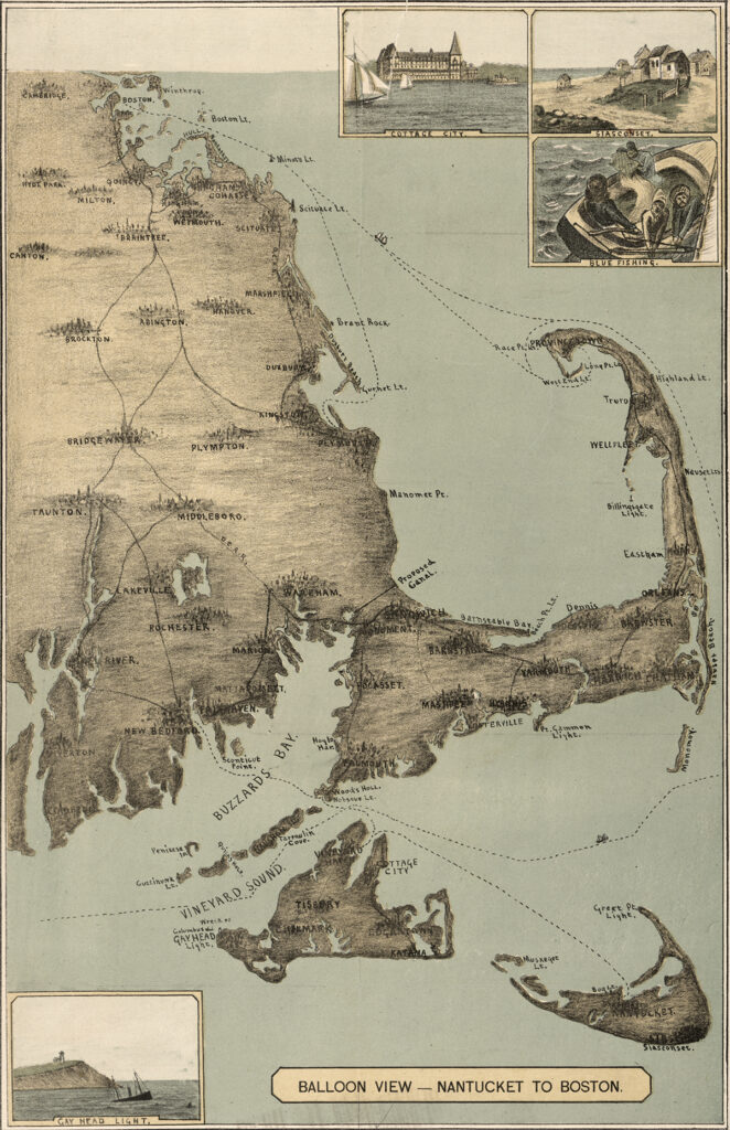
The sandy peninsula of Cape Cod, Massachusetts juts into the Atlantic Ocean with its characteristic crook and twirl in both images: “Balloon View–Nantucket to Boston” made in 1885, and a Landsat 8 satellite image made 129 years later in 2014. Aspirations to rise above the Earth and to record the Earth’s surface from there are a long-standing theme of human culture.

Read More »
On Key

Related Posts

1911 USGS map

Creating an Oasis in the Desert: Lake Havasu City, Arizona, 1911

Parker Dam was constructed on the California-Arizona border on the lower Colorado River during the 1930s, as part of a project to employ people during the Great Depression, to generate electricity, and to provide water that could be pumped into aqueducts for agricultural, industrial, and residential use in other parts of Arizona.

Read More »