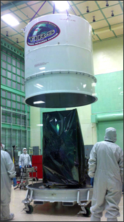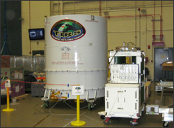
- Yesterday the Landsat Data Continuity Mission’s Thermal Infrared Sensor (TIRS) passed its pre-ship review.
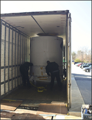
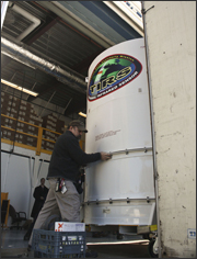
After being packed in a special container, TIRS was loaded onto a truck for shipment to the spacecraft contractor, Orbital Sciences, Corp., at 10 a.m. on Tuesday, Feb. 7. The truck is scheduled to leave NASA Goddard on Wednesday and arrive in Arizona on Friday.
Once TIRS arrives at Orbital’s Satellite Manufacturing Facility in Gilbert, Arizona post-ship testing will occur followed by integration onto the spacecraft.
TIRS was designed, built, and tested in three and a half years in-house at NASA Goddard. This is an incredibly fast development and delivery time. The TIRS engineers worked on instrument testing around the clock through the holiday season. The scientists reviewing the TIRS testing data are very pleased with the instrument performance.
One of the important applications of TIRS will be to help scientists and resource managers monitor water evaporation and transpiration over Earth’s land surface by measuring radiation emitted in two thermal bands of the electromagnetic spectrum. TIRS’s resolution is 100 meters, which allows monitoring on a field-by-field basis for agriculture. This type of detail is vital for water managers in the semi-arid western U.S. states.

Further information:
+ TIRS Completes Pre-Ship Testing
+ Landsat’s TIRS Instrument Comes Out of First Round of Thermal Vacuum Testing


