
Landsat 5 successfully set the new Guinness World Records title for ‘Longest-operating Earth observation satellite’ as stated in an e-mail from Guinness World Records sent to NASA Goddard Space Flight Center in Greenbelt, Md. Outliving its three-year design life, Landsat 5 delivered high-quality, global data of Earth’s land surface for 28 years and 10 months.
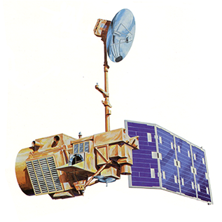
NASA launched Landsat 5 from Vandenberg Air Force base in Lompoc, Calif. on March 1, 1984. Landsat 5 was designed and built at the same time as Landsat 4 and carried the same two instruments: the Multispectral Scanner System (MSS) and the Thematic Mapper (TM).
Managed by the U.S. Geological Survey (USGS) as part of the Landsat Program, it completed over 150,000 orbits and sent back more than 2.5 million images of Earth’s surface. On Dec. 21, 2012 the USGS announced Landsat 5 would be decommissioned in the coming months after the failure of a redundant gyroscope. The satellite carries three gyroscopes for attitude control and needs two to maintain control.
“This is the end of an era for a remarkable satellite, and the fact that it flew for almost three decades is a testament to the NASA engineers who launched it and the USGS team who kept it flying well beyond its expected lifetime,” said Anne Castle, Department of the Interior Assistant Secretary for Water and Science in a press release.
Originally designed to be retrievable by the space shuttle, Landsat 5 was equipped with extra fuel. That extra fuel kept the satellite operating for much longer than anticipated after the space shuttle retrieval plan was thrown out.
Space is a harsh environment, and Landsat 5 faced more than twenty technical issues throughout its lifetime as parts gave in to wear and age. Landsat 5’s USGS Flight Operations team found engineering and operational fixes to work around the problems, which included losing batteries, star trackers, and on-board data recording capability.
“The efforts of the Landsat team were heroic. Landsat 5 could not have lasted so long without the dedication and devotion of the USGS flight operations team that overcame a number of difficult technical challenges over the last 12 years,” said Jim Irons, LDCM project scientist.
Not only did they keep the satellite going, said Irons, but in doing so, “Landsat 5 saved the Landsat program. This satellite’s longevity preserved the Landsat program through the loss of Landsat 6 in 1993, preventing the specter of a data gap before the launch of Landsat 7 in 1999.”
Today, the Landsat program continues to provide data used across the United States and the world for agricultural and forest monitoring and water resource management, among many other environmental applications.
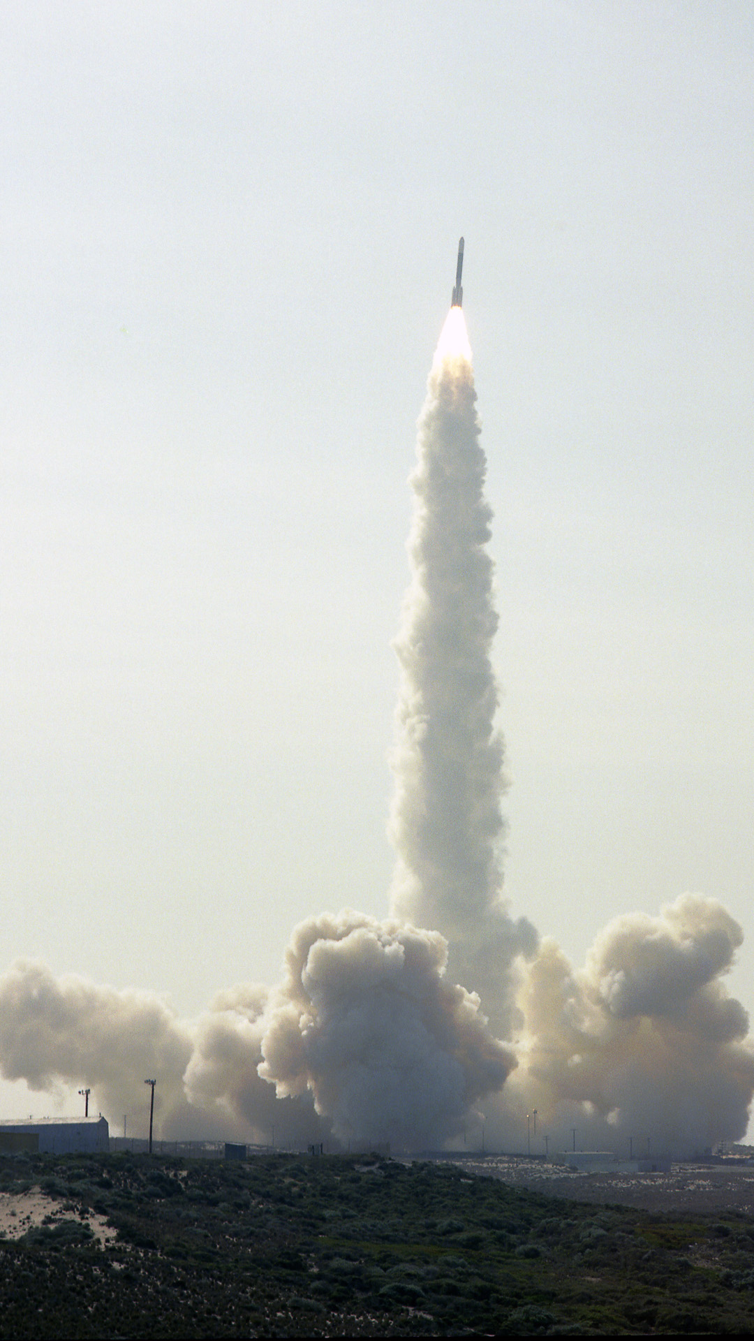
NASA is launching its next successor to the still operational Landsat 7 satellite, the Landsat Data Continuity Mission (LDCM) on Feb. 11, 2013. LDCM carries two new instruments, the Operational Land Imager and the Thermal Infrared Sensor, which will collect data that are compatible with data from Landsat 5 and 7, and improve upon it with advanced instrument designs that are more sensitive to changes to the land surface, said Irons.
LDCM will continue the Landsat program’s 40-year data record of monitoring Earth from space. Once the LDCM satellite is extensively tested and certified for its mission, it will be renamed Landsat 8 and be operated by the U.S. Geological Survey.


