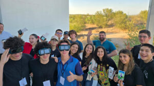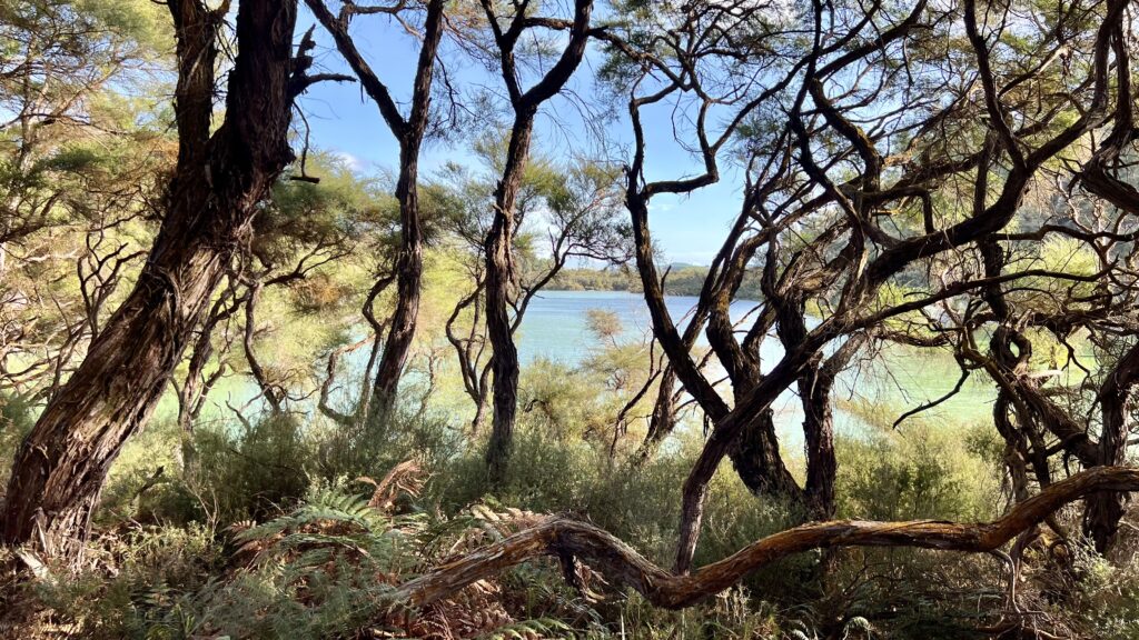
Scientists from around the world gathered in Rotorua, New Zealand from September 9–13, 2024, for the ForestSAT 2024 conference. The meeting, held this year in a caldera lake-side city on New Zealand’s north island, focuses on spatial analysis technologies for forestry.
Chris Neigh, the NASA Landsat 8 and 9 Project Scientist, and Bruce Cook, the NASA Landsat Next Project Scientist were both in attendance. Neigh gave a talk titled “Young Circumboreal Forest Growth Hotspots Identified with ICESat-2 and Landsat Stand Age.” Cook updated participants on the upcoming Landsat Next mission, giving a talk titled “Landsat Next: Temporal, Spatial and Spectral improvements Leading to Scientific Discovery and Decision-Making During the Next Half-Century.” The international gathering of forest researchers, application scientists, and forestry practitioners showed an outpouring of support for Landsat Next.
Many past Landsat science team members and affiliates were also in attendance to share their research and expertise using satellite technology to understand and manage forests around the world.
Crystal Schaaf, an international BRDF (bidirectional reflectance distribution function) and albedo expert, gave the keynote talk on the first full day of the conference. Matt Hansen held a session on a decade of Global Forest Watch project. Sean Healey (with the U.S. Forest Service) gave a talk concerning better forest monitoring for climate change mitigation. Txomin Hermosilla (Canadian Forest Service) gave a talk on using Landsat time series to map tree species across Canada. Randy Wynne spoke about post-disturbance recovery of Southern Yellow Pines.
Landsat continues to be a key data source for many at ForestSAT— a conference initiated more than two decades ago by foresters “hungry for operational applications of Earth observations and spatial analysis techniques.”

