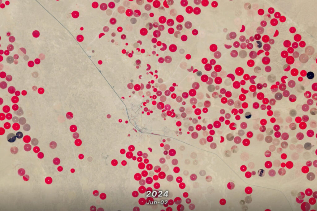
Celebrating this anniversary, this video is a “greatest hits” montage of Landsat data. Throughout the decades, Landsat satellites have given us a detailed view of the changes to Earth’s land surface. By collecting data in multiple wavelength regions, including thermal infrared wavelengths, the Landsat fleet has allowed us to study natural disasters, urban change, water quality and water usage, agriculture development, glaciers and ice sheets, and forest health.
NASA and the U.S. Department of the Interior through the U.S. Geological Survey (USGS) jointly manage Landsat, and the USGS preserves a more than 40-year archive of Landsat data that is freely available over the Internet.
This video is public domain and can be downloaded at: http://svs.gsfc.nasa.gov/goto?11615

Undamming the Klamath
Between October 2023 and October 2024, the four dams of the Klamath Hydroelectric Project were taken down, opening more than 400 miles of salmon habitat.


