
Data description:
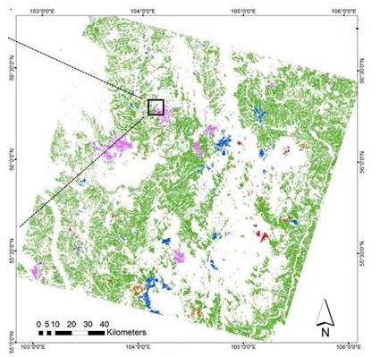
“This data set provides Boreal forest disturbance maps at 30-m resolution for 55 selected sites across Northern Eurasia within the Russian Federation. Disturbance events were derived from selected high-quality multi-year time series of Landsat Thematic Mapper and Enhanced Thematic Mapper Plus images (stacks) over the 1984 to 2000 time period. Forest pixels were classified by year of latest disturbance or as undisturbed.”
Reference:
Chen, D., T.V. Loboda, S. Channan, and A. Hoffman-Hall. 2015. Russian Boreal Forest Disturbance Maps Derived from Landsat Imagery, 1984-2000. ORNL DAAC, Oak Ridge, Tennessee, USA. http://dx.doi.org/10.3334/ORNLDAAC/1294
Further Information:
+ ORNL DAAC link to the data set

Be Part of What’s Next: Emerging Applications of Landsat at AGU24
Anyone making innovative use of Landsat data to meet societal needs today and during coming decades is encouraged to submit and abstract for the upcoming “Emerging Science Applications of Landsat” session at AGU24.


