Search
Close this search box.

Salish-Kootenai Tribal College Internships

Salish-Kootenai Tribal College Internships

Student projects from summer 2005:

Landcover classification specific to timber typing in the buffer zone of the Mission Range.

This student was looking for dominant species composition using both aerial photos and Landsat data. For a further analysis in specific areas of the buffer zone, a crown/species density count was also performed.

Fire Prediction modeling of the buffer zone area in the Mission Mountains.

This student examined NDVI values and mapped greenness across the area using MODIS, Landsat and AVHRR data. Other factors such as dryness and temperature were also used in selected areas of the buffer zone. The buffer zone of the Mission Range is considered a “tinder box” due to the lack of fire in the region, and the tribe is managing multiple ecological issues regarding fire management and logging.

Land-use mapping correlated with environmental contamination sites.

A Land-use map was created for the entire Flathead Reservation, using Landsat data in combination with aerial photos. This student investigated current land-use types, relating land-use patterns to environmental contamination sites on the reservation.

On Key

Recent Posts

1911 USGS map

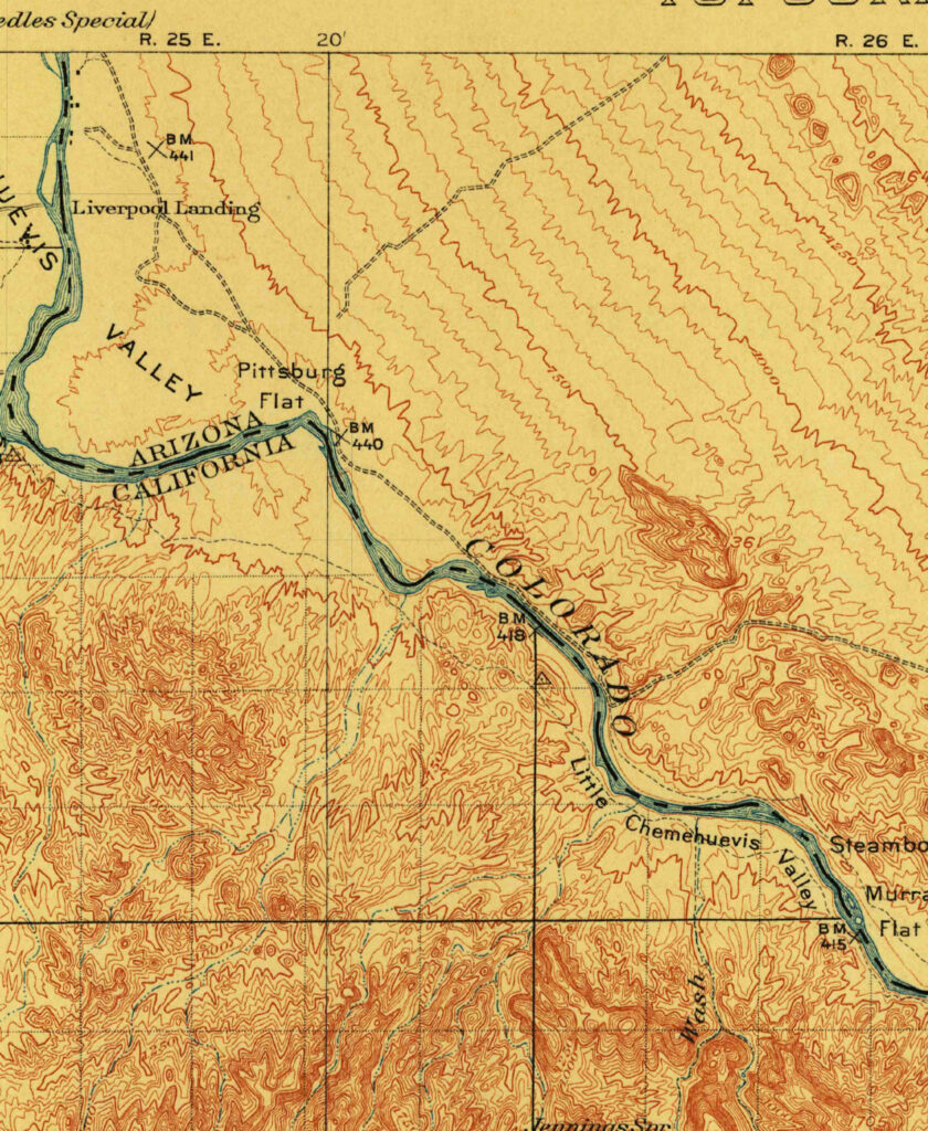
Creating an Oasis in the Desert: Lake Havasu City, Arizona, 1911

Parker Dam was constructed on the California-Arizona border on the lower Colorado River during the 1930s, as part of a project to employ people during the Great Depression, to generate electricity, and to provide water that could be pumped into aqueducts for agricultural, industrial, and residential use in other parts of Arizona.

Read More »
Cape Cod map 1885

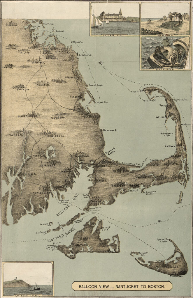
Cape Cod, 1885

The sandy peninsula of Cape Cod, Massachusetts juts into the Atlantic Ocean with its characteristic crook and twirl in both images: “Balloon View–Nantucket to Boston” made in 1885, and a Landsat 8 satellite image made 129 years later in 2014. Aspirations to rise above the Earth and to record the Earth’s surface from there are a long-standing theme of human culture.

Read More »
On Key

Related Posts

1911 USGS map

Creating an Oasis in the Desert: Lake Havasu City, Arizona, 1911

Parker Dam was constructed on the California-Arizona border on the lower Colorado River during the 1930s, as part of a project to employ people during the Great Depression, to generate electricity, and to provide water that could be pumped into aqueducts for agricultural, industrial, and residential use in other parts of Arizona.

Read More »