
Source: USGS Earth Resources and Observation Science (EROS) Center
Reilly offered remarks at the ceremony, which began shortly after noon, as did Goddard Director Dr. Chris Scolese and Tim Newman, program coordinator for the USGS National Land Imaging Program.
Among other key officials at the ceremony were three from the DOI’s Water and Science Division: Assistant Secretary Tim Petty, Deputy Assistant Secretary Andrea Travnicek, and Deputy Assistant Secretary Austin Ewell.
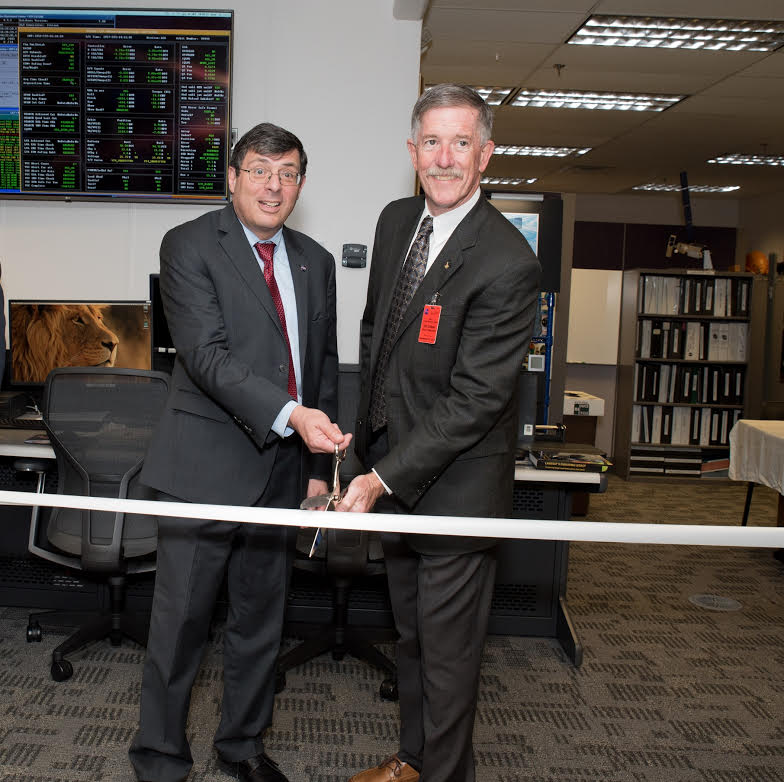
The Landsat 7 MOC’s move into Building 25 on the Goddard campus was completed April 13, 2018, when flight operations there went fully operational. The MOC’s previous location, in Building 32 at Goddard, is being renovated for the Landsat Multi-Satellite Operations Center (LMOC), which will house flight operations for both Landsat 8 and Landsat 9.
Prior to the ribbon-cutting, there was a NASA/USGS roundtable overview on the partnership and activities of the two agencies, a visit to the Landsat 8 MOC, a look at work being done on the Thermal Infrared Sensor 2 (TIRS-2) instrument that will fly aboard Landsat 9, a stop at the Satellite Servicing Projects Division to hear about the Restore-L robotic refueling mission, and a development briefing on Landsat 9.
Attending from EROS were Acting Director John Hahn, Observing Systems Branch Chief Jenn Lacey, and Landsat Mission Management Office Doug Daniels with The Aerospace Corp.
See the video below to learn more about the work of a Mission Operations Center:

Be Part of What’s Next: Emerging Applications of Landsat at AGU24
Anyone making innovative use of Landsat data to meet societal needs today and during coming decades is encouraged to submit and abstract for the upcoming “Emerging Science Applications of Landsat” session at AGU24.


