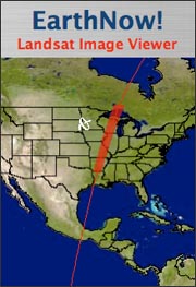
 The U.S. Geological Survey (USGS) has made it possible for you to watch as swaths of data from the Landsat 5 and Landsat 7 satellites are collected and downloaded to the USGS Center for Earth Resources Observation and Science (EROS) in Sioux Falls, SD.
USGS EarthNow! displays data received from the Landsat 5 and Landsat 7 satellites as they pass over the United States. When a Landsat satellite passes within range of the ground station at the USGS EROS center, image data are downlinked and displayed in near-real time. When Landsat 5 and 7 are not in range, the most recent pass is displayed.
Visit the EarthNow! website to see these live broadcasts of Landsat data scroll across your screen. Geographic information, such as river and city names are superimposed on the data to help you get your bearings as you watch Earth go by.
+ Visit EarthNow!

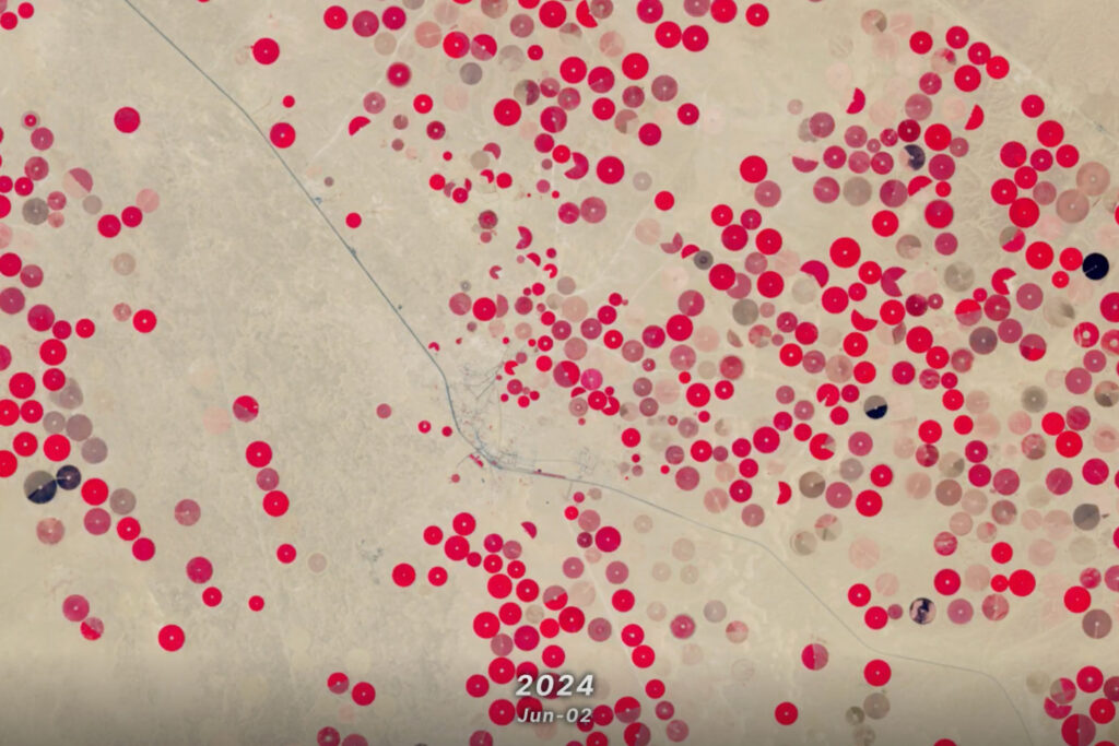
Saudi Arabia’s Desert Agriculture
In this animation of 2024 and January 2025, crop fields in Saudi Arabia cycle through their growing seasons.


