
Farm Crops for City Drops: Assessing Water Right Transfers With Landsat
Thirty-one years of observed water use trends in the Southwestern U.S.
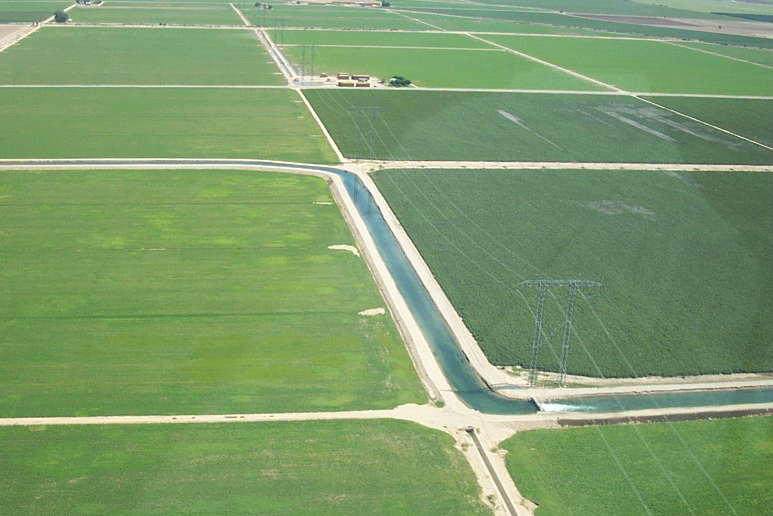
How Much Water Flows into Ag Irrigation? Landsat Knows
Researchers detail their use of satellite images to produce annual maps of irrigation.
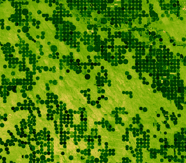
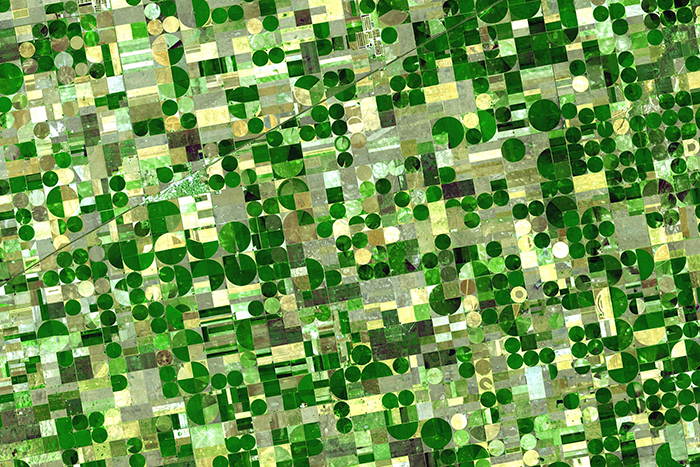
Mapping Croplands Over the U.S. High Plains Aquifer
Using Landsat to map croplands over the U.S. High Plains Aquifer.
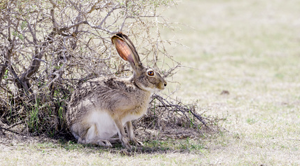
Managing Brush on Western Rangelands
An approach for evaluating brush management conservation.
Watching Water Use in the Southwest
Water use trends observed in the Southwestern U.S. over three decades.
Agriculture: The View From Space
The Food and Agricultural Organization of the United Nations published an audio article about using geospatial data, including Landsat, to monitor would agriculture on soundcloud.