
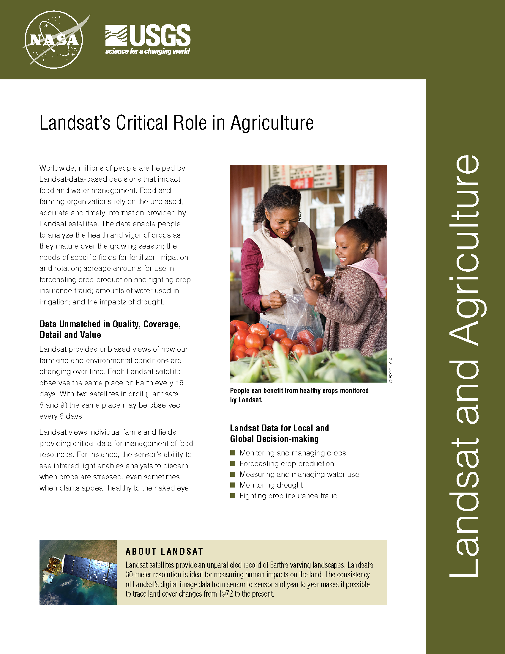
Satellite Data Help Australian Ranchers Meet the Rising Demand for Meat in a Changing World
When Russell Lethbridge walks his property in northern Australia — kicking-up clouds of dust that catch the sunlight as he assesses the grasses, shrubs and brush that fill the landscape with muted tones of green — he carries the legacy of five generations before him on his shoulders.
Future Grains
When global food prices spiked dramatically in late 2007 and into 2008, the costs of many basic dietary staples doubled or even tripled around the world, sparking protests and riots. Panicked governments stopped exporting food, aggravating the crisis.
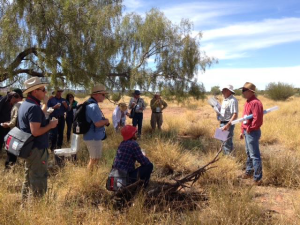
Mapping Rice, Managing Water in Parched California
Liheng Zhong, a Senior Delineator with the California Department of Water Resources is working on a way to map rice fields with Landsat to better manage water use. He presented some of this findings at #AGU15, here’s what he shared with us.
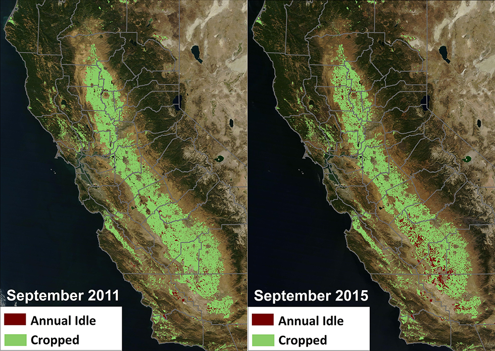
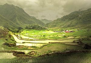
Federal Agencies Release Data Showing California Central Valley Idle Farmland Doubling During Drought
NASA, in collaboration with the United States Department of Agriculture (USDA), United States Geological Survey (USGS), and the California Department of Water Resources, released data today showing the effect the current drought has had on agricultural production and the idling of California farmlands.
Tracking Agricultural Water Use on a Smartphone
This fall scientists at the University of Nebraska, with partners at Google Inc., the University of Idaho and the Desert Research Institute, introduced the latest evolution of METRIC technology—an application called EEFLUX, which will allow anyone in the world to produce field-scale maps of water consumption.
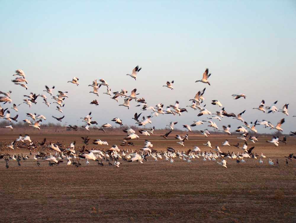
Landsat Helps Feed the Birds
The BirdReturns program, created by The Nature Conservancy of California, is an effort to provide “pop-up habitats” for some of the millions of shorebirds, such as sandpipers and plovers, that migrate each year from their summer breeding grounds in Alaska and Canada to their winter habitats in California, Mexico, Central and South America.