
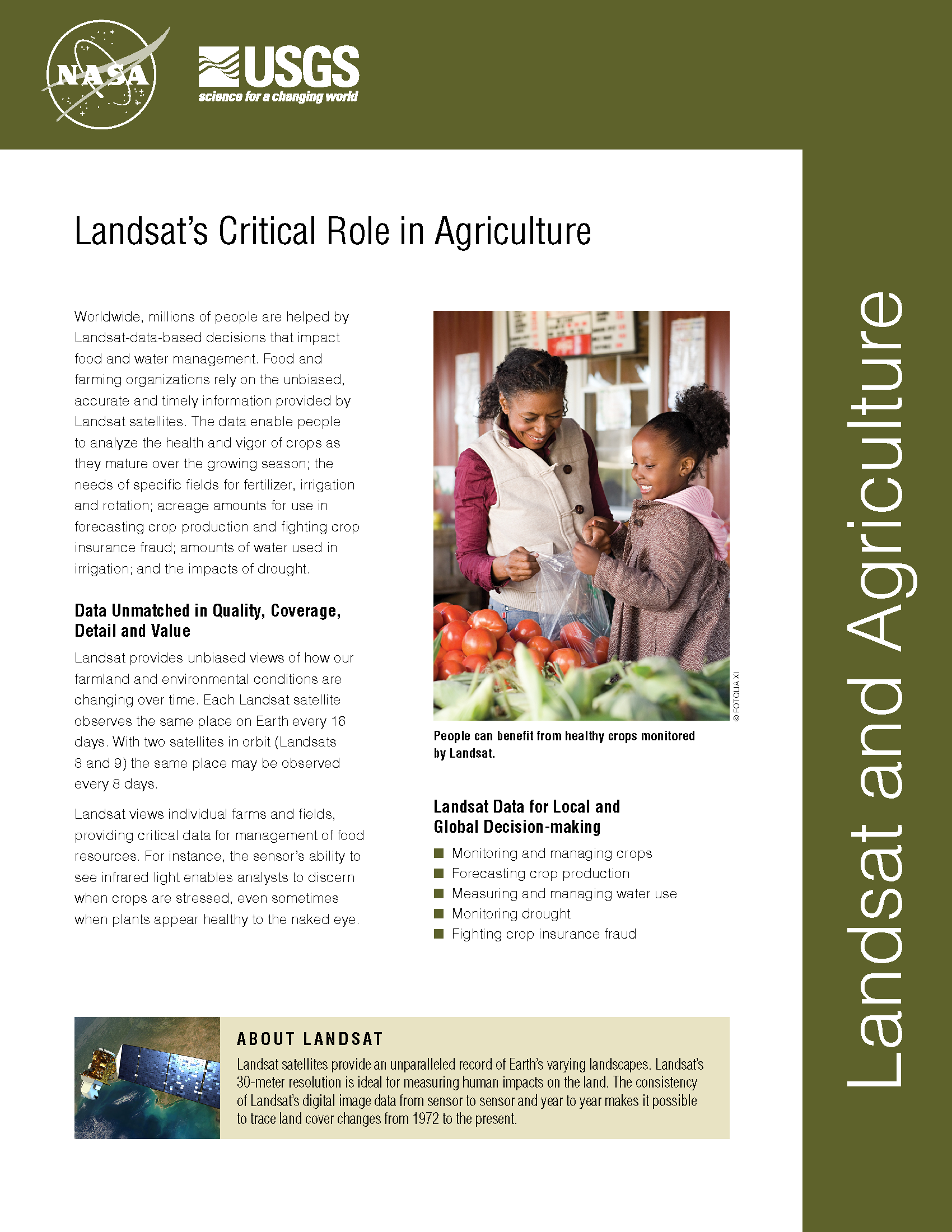
Satellite Imagery Helps Farmers Cut Water Use in Half
A young start-up is using satellite data to give California farmers better information about water, which can translate into water savings or bigger yield for the same input.
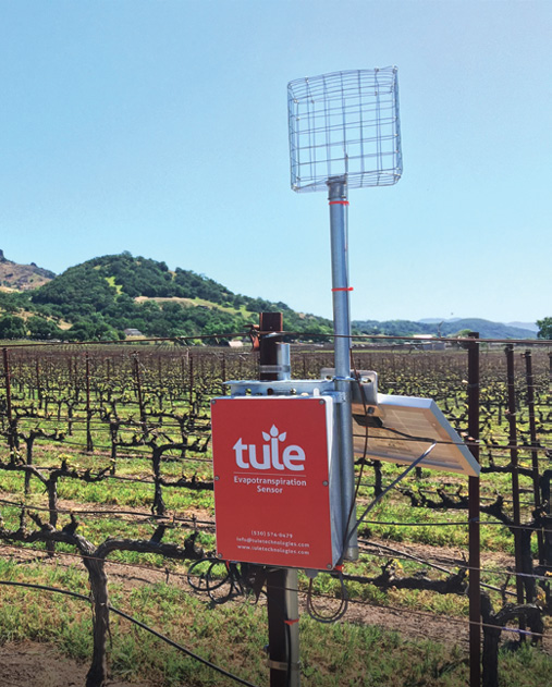
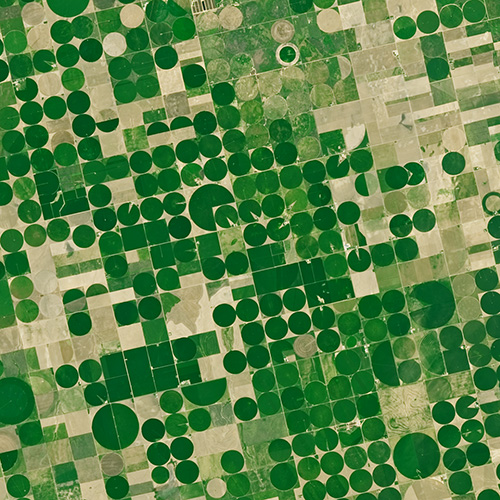
Mapping Twenty Years Of Historical US Midwestern Corn And Soybean Information with Landsat
A new data set uses Landsat data to extend the Crop Data Layer back in time.
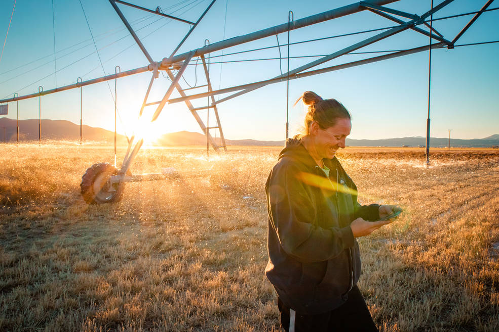
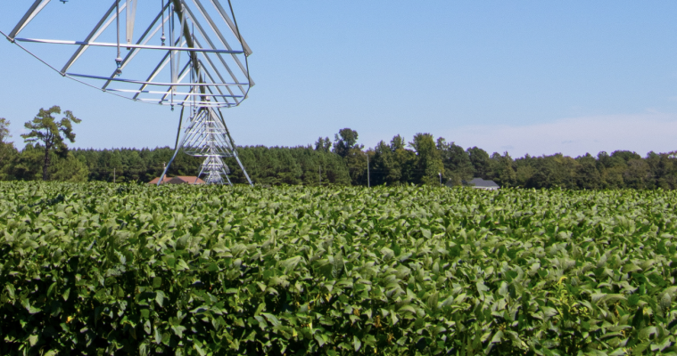
Transforming Water Management in the U.S. West with Satellite Data
A new web-based platform called OpenET will soon be putting satellite data in the hands of farmers, water managers and conservation groups to accelerate improvements and innovations in water management.
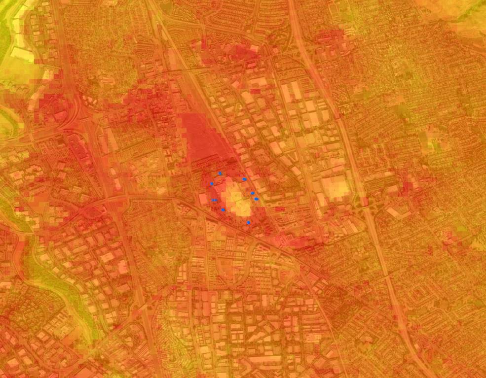
Landsat Data Informs New Projects Exploring Connections Between the Environment and COVID-19
Satellite images are helping to reveal how COVID-19 lockdown measures are impacting food security, urban surface heat, water quality and aquatic ecosystems, and more in NASA-funded studies.
Agriculture: The View From Space
The Food and Agricultural Organization of the United Nations published an audio article about using geospatial data, including Landsat, to monitor would agriculture on soundcloud.

Plants from Space with Martha Anderson
USDA researcher Martha Anderson uses satellites and instruments like Landsat and ECOSTRESS to see how stressed plants are from space.