
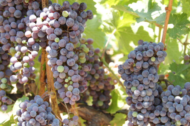
Raising a Glass in Wine Country to Better Water Management
Grape growers like Gallo are using data from Earth-observing satellites to better track soil and vine moisture levels, understand vine water use and plan grapevine irrigation.

New Satellite-Based Algorithm Pinpoints Crop Water Use
A new satellite-driven biophysical model can make accurate forecasts of crop water use that are critical for farmland water management and sustainability.
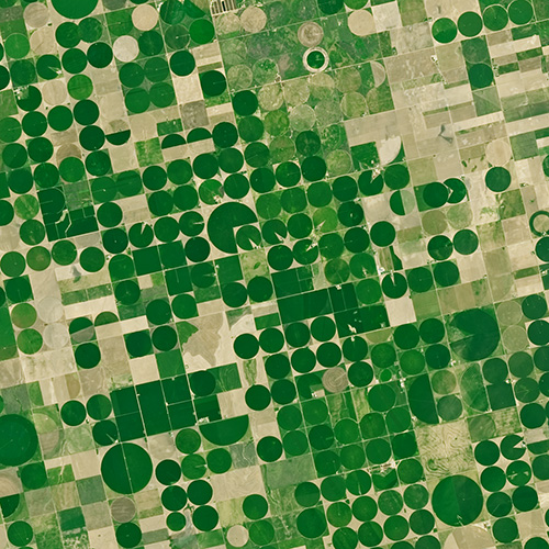
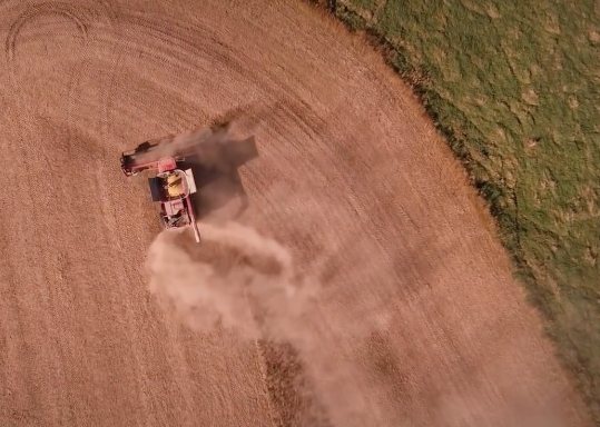
Landsat: Farming Data From Space
With Landsat data, farmers can find new ways to grow more crops with less water.
Using NASA’s Harmonized Landsat Sentinel-2 Product to Give Farmers Real-Time Crop Health Information
IndigoAg is using HLS data to help fulfill its mission of making farms more profitable and sustainable.
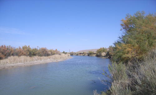
Improving Water Management in New Mexico with Landsat and ECOSTRESS
New Mexico is one of the most arid states in the US, and precise and accurate information on water use is of utmost importance.
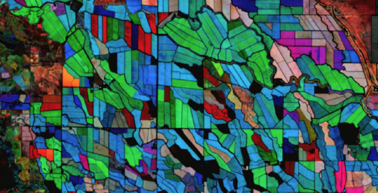
Landsat Helps Pick Winter Cover Crops
Remote sensing can aid the monitoring and evaluation of incentivized farming programs like the one in Maryland.