

A forest by any other name? Semantics, carbon implications, and solutions
Using the world’s first global, Landsat-based 30-meter resolution map of tree cover, researchers found that ambiguity of the term “forest” has the potential to create 13 percent discrepancies in forest area maps. While ecologists have long understood the complexity comprised by the concept of “forest”, and while geographers have called for the term to be more uniformly defined across monitoring entities, no one had quantified the scope of the problem.
New Global Data Finds Tropical Forests Declining in Overlooked Hotspots
The world lost more than 18 million hectares (45 million acres) of tree cover in 2014, an area twice the size of Portugal, according to new data from the University of Maryland (UMD) and Google released by Global Forest Watch. The data find that tropical forests are in the most trouble, losing 9.9 million hectares (24.5 million acres) of tree cover in 2014 – over half of the global total. A three-year-average shows tree cover loss is the highest it’s been since 2001.
Turkish Glaciers Shrink By Half
Researchers and citizens have known for some time that Turkey’s glaciers are shrinking. Now scientists have calculated the losses and found that more than half of the ice cover in this mountainous country has vanished since the 1970s.
A Reward for Teachers: Remote Sensing Earth Science Teacher Program (RSESTeP)
As part of a NASA-associated program, Michael Geiswhite and 28 of his 11th grade students from North Schuylkill Junior-Senior High School studied a coal mine fire that ignited in 1962 in Centralia, PA and forced the permanent exodus from their homes of more than 1,000 people, including some of the students’ relatives.
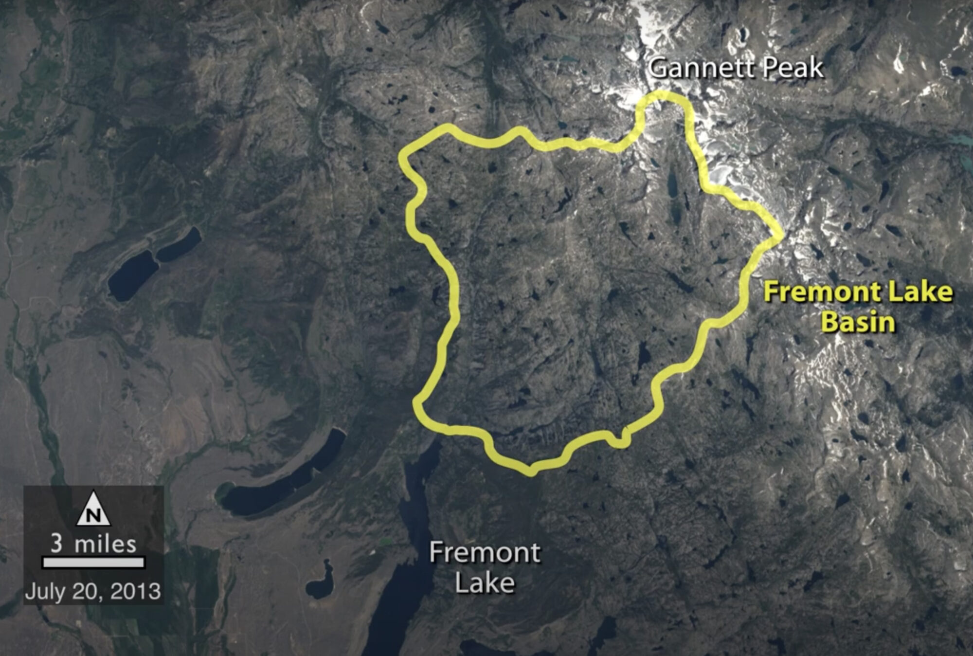
Historical Satellite Images Reveal Snow is Melting Earlier in Wyoming
A NASA study of a basin in northwestern Wyoming revealed that the snowmelt season in the area is now ending on average about sixteen days earlier than it did from the 1970s through the 1990s.
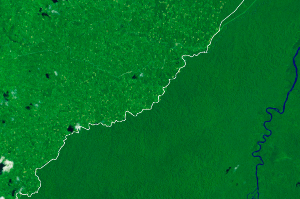
Landsat Shows Felling of Tropical Trees Has Soared
The rate at which tropical forests were cut, burned or otherwise lost from the 1990s through the 2000s accelerated by 62 percent, according to a new study which dramatically reverses a previous estimate of a 25 percent slowdown over the same period. That previous estimate, from the U.N.’s Food and Agriculture Organization’s (FAO) Forest Resource Assessment, was based on a collection of reports from dozens of countries. The new estimate, in contrast, is based on vast amounts of Landsat image data which directly record the changes to forests over 20 years.
